Geography
Intent:
The Geography curriculum at Laceby Stanford Primary Academy is unique. It is broad and balanced with a breadth of engaging opportunities. We want to enable children to be secure in their geographical knowledge, as well as having an awareness of being global citizens and an understanding of how we can take better care of our planet by identifying current issues linked to climate change.
Implementation:
The Geography curriculum is purposeful and relevant to the pupils. The knowledge and skills pupils acquire, build on their previous learning, allowing them to transfer key skills, knowledge and concepts to their long-term memories. Geography is carefully planned and sequenced in order to promote progression and development of key skills as children advance through our school.
We focus on learning about human and physical geographical features, introducing children to a wealth of new vocabulary and concepts through a range of meaningful, engaging and relevant contexts. We also encourage enquiry-based learning and use of cross-curricular maths and writing skills through promoting field work as an essential part of geography.
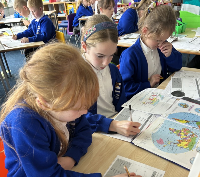
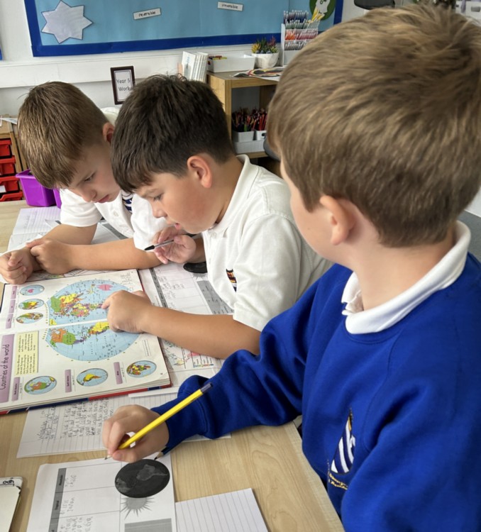
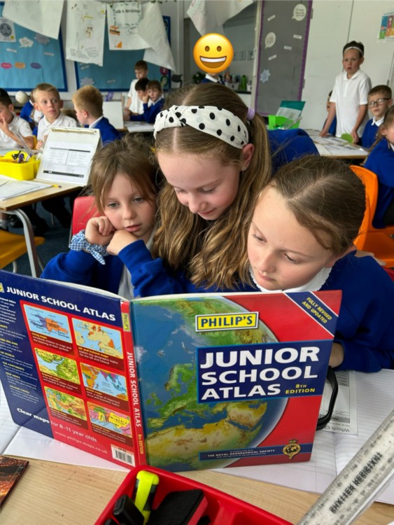
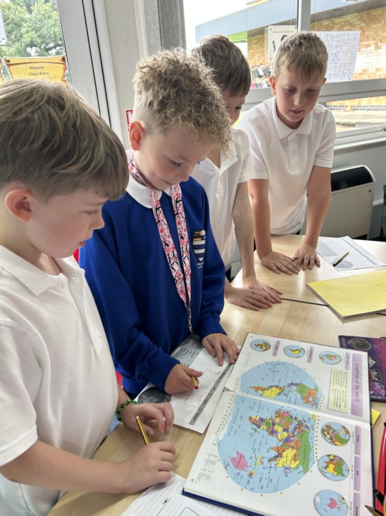
In addition to this, we believe it is important that children are suitably equipped to be able to use and analyse a range of different maps and have secure place knowledge.
In each year group, children focus on important global issues, through their geography, SMSC, RE, science and English lessons, as well as during assemblies and through fundraising.
Impact:
We are proud of the achievements of our pupils in Geography. Our pupils fluently apply their skills and knowledge within Geography and make connections to their existing knowledge and to other curriculum areas. The impact of the children’s learning in geography can be measured not only in their cross-curricular topic work, but also through our outdoor learning and application of language and knowledge in writing and reading lessons.
A parents guide to the new National Curriculum (not Foundation/Seedlngs class). More information can be found on the Rising Stars website
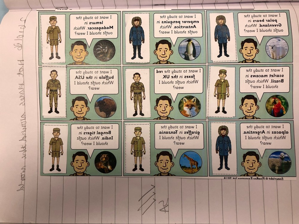
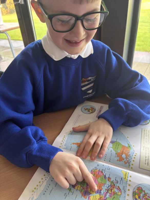
Year 2 Geography: Animals Around the World
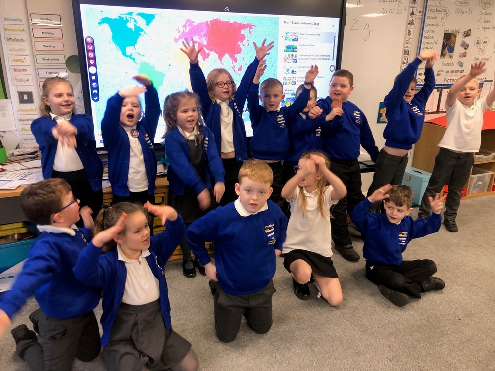
The children have been learning a fantastic song about the continents of the world and have developed their own actions.
They have been learning about hot and cold places in relation to the Earth’s equator.
<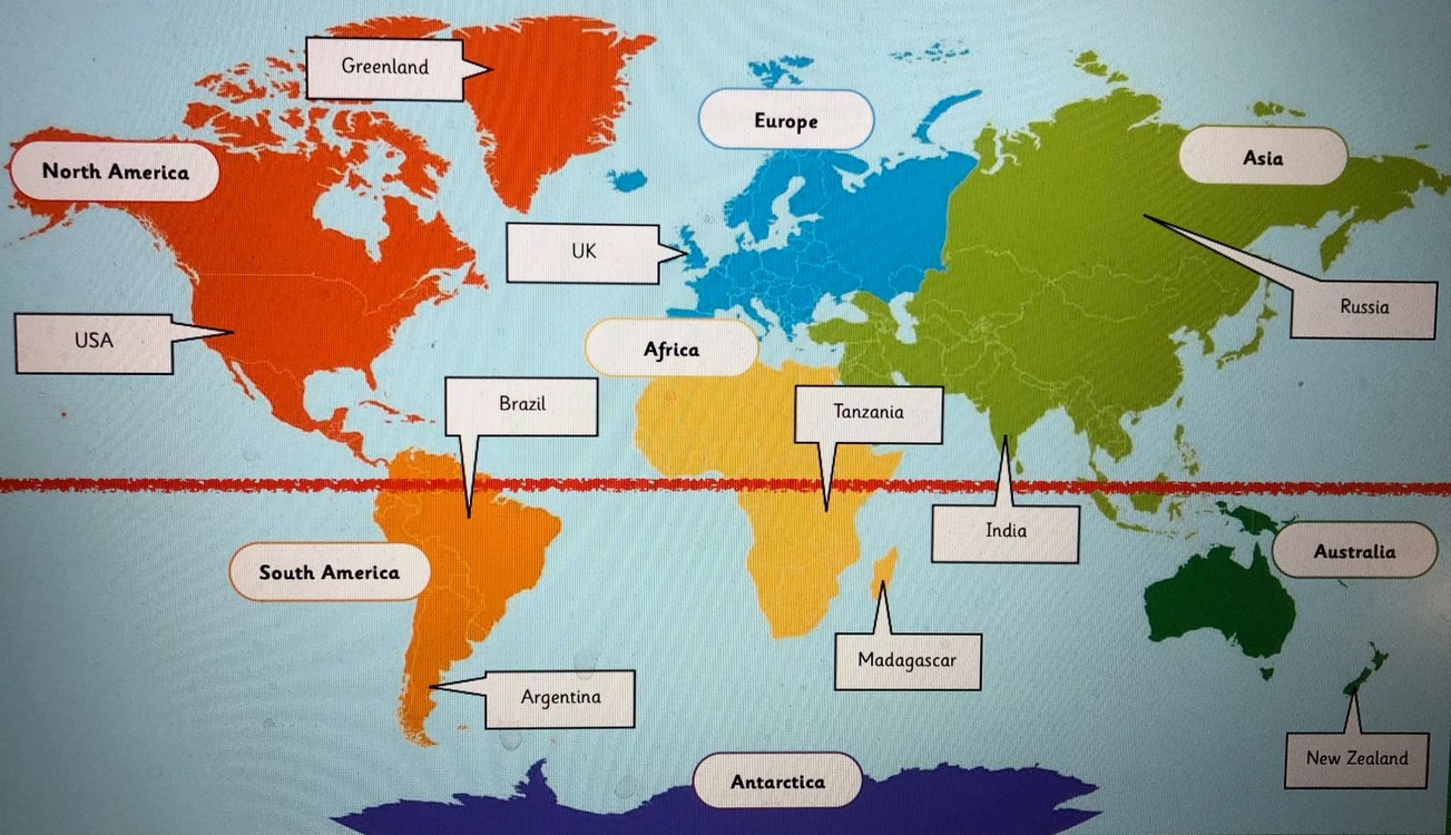
‘We had to look at a world map to find out where the different animals live.’
‘It’s very hot if you live near the equator.’
‘We had to think about what kind of clothes a zoologist would wear if he went to visit animals in different climates.’
<
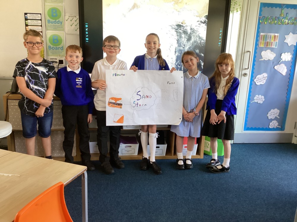
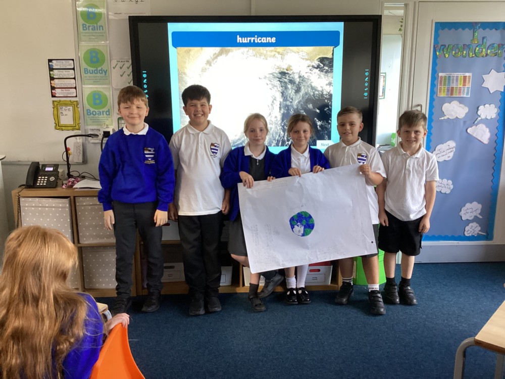
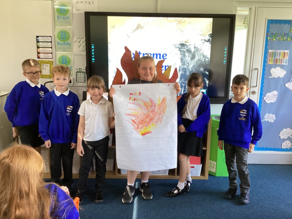
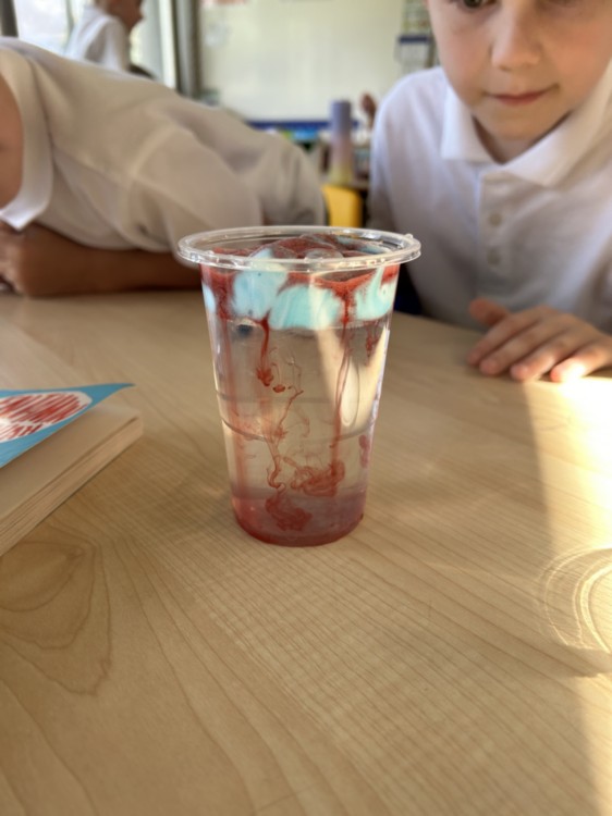
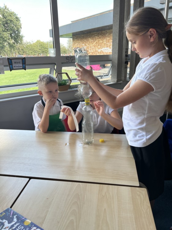
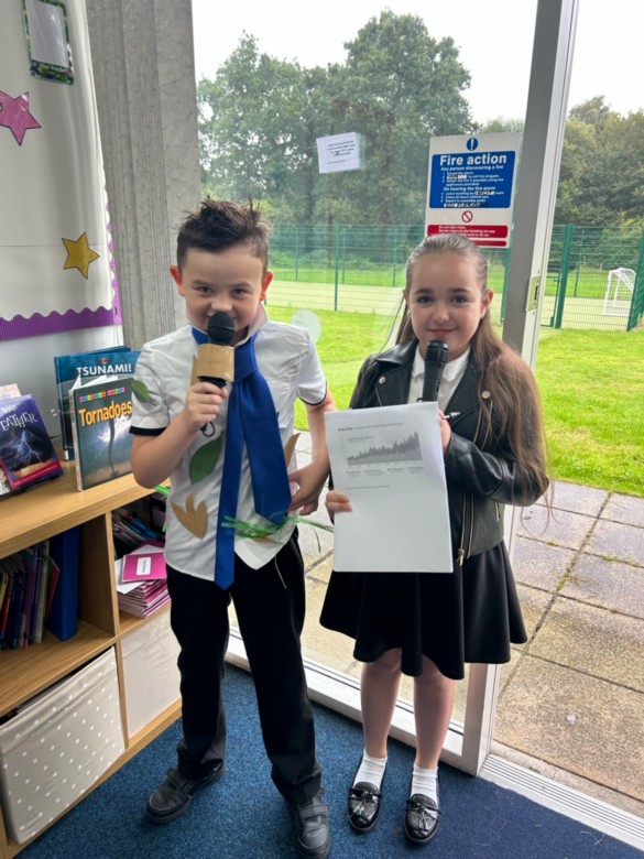
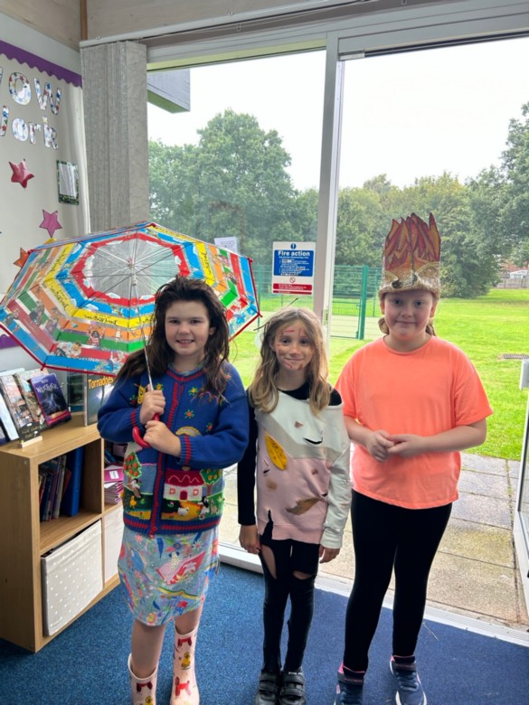
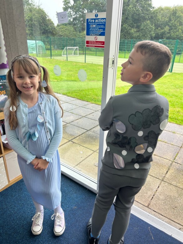
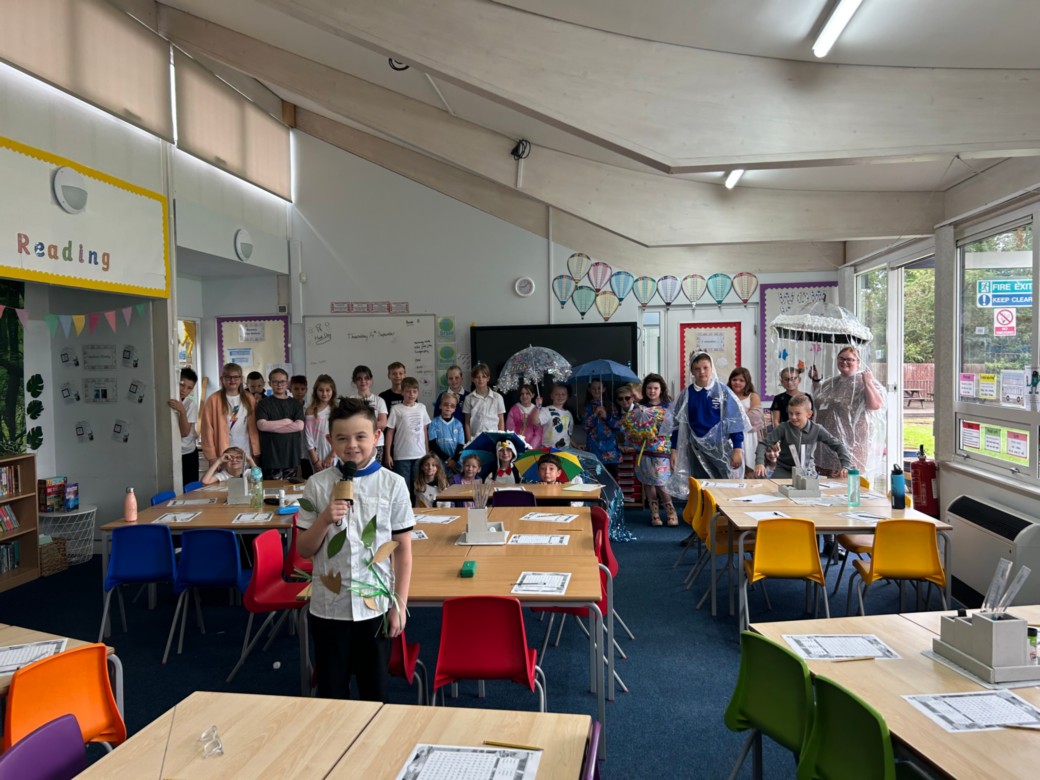
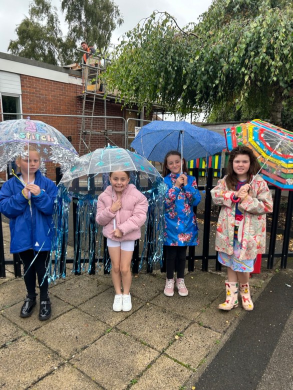
Blossom Class - Extreme Weather
In Geography this term the children have enjoyed researching climate zones and extreme weather patterns around the globe and within the UK. They even became weather people giving presentations on different types of weather patterns.
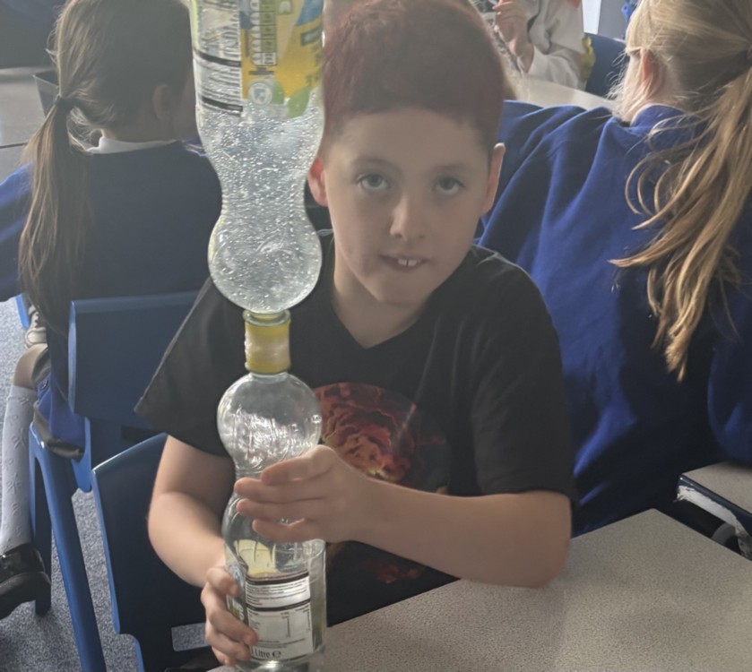
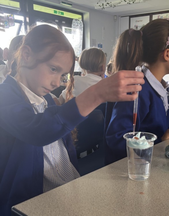
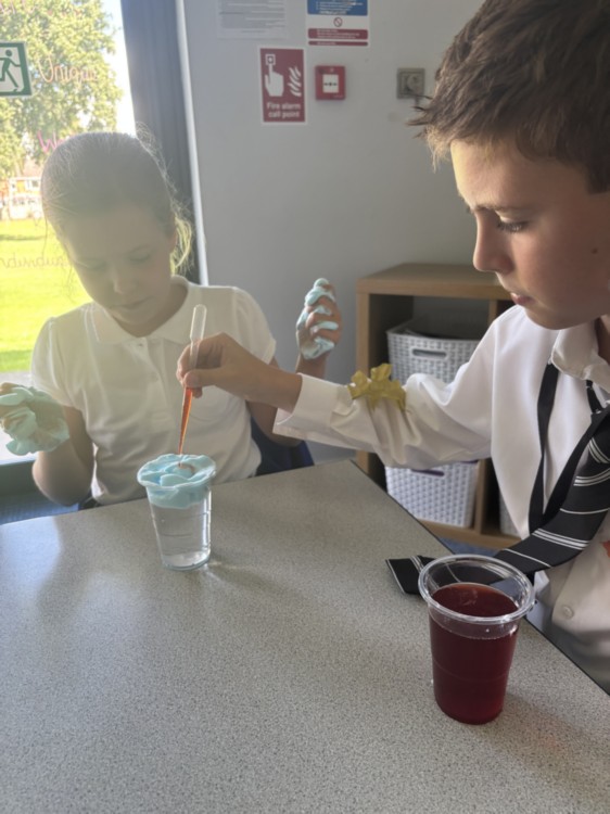
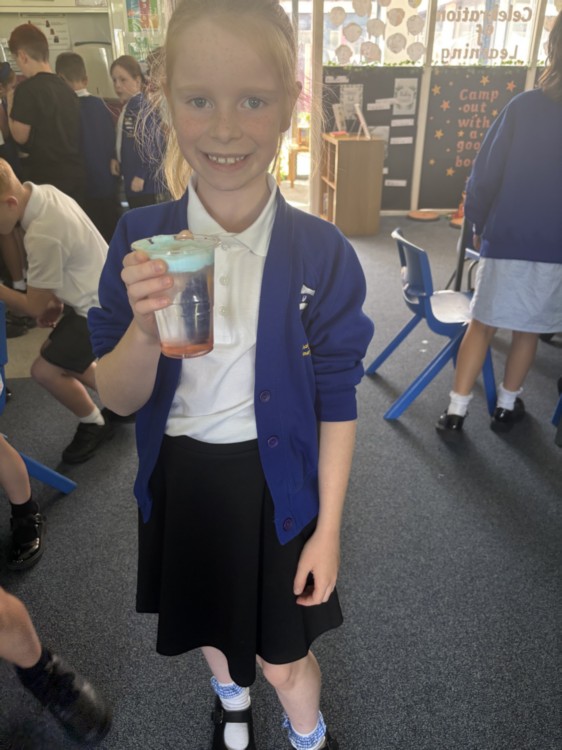
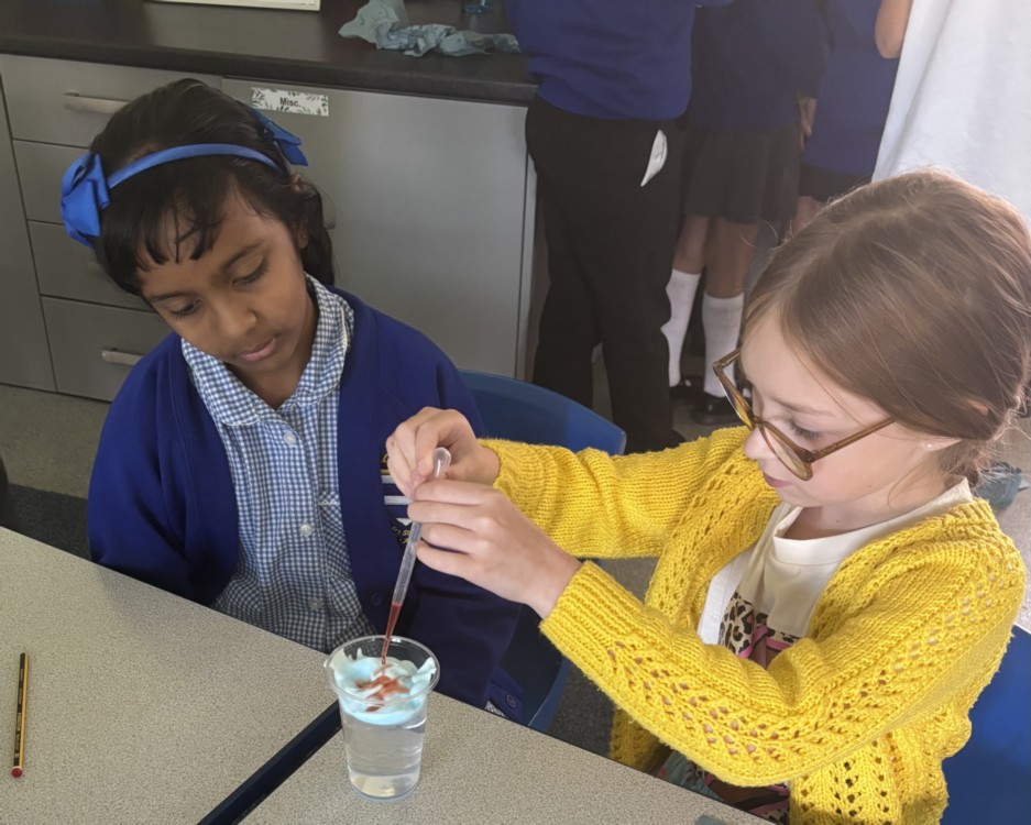
Wild Weather
Today in Marigold and Blossom class we transformed into meteorologists and scientists to explore the world of wild weather. The day began with a dive into a variety of extreme weather phenomena, including: Tornadoes, Hurricanes, Blizzards, Snowstorms and Flash Floods. We then created and presented their own research on these powerful weather events, learning about how and why they form and the impact they have on communities. The most exciting part of the day was bringing the presentations to life with hands-on experiments. We used simple materials to simulate the complex forces of nature: Tornado in a Bottle: By swirling water in a clear bottle, students created a miniature vortex, demonstrating the powerful, spiralling winds of a tornado. Rain Cloud in a Jar: using a jar, water, shaving cream (to represent a cloud), and food colouring to show how clouds become saturated and eventually release rain.
“It’s been a really exciting day!” “I have found out a lot of interesting facts!”
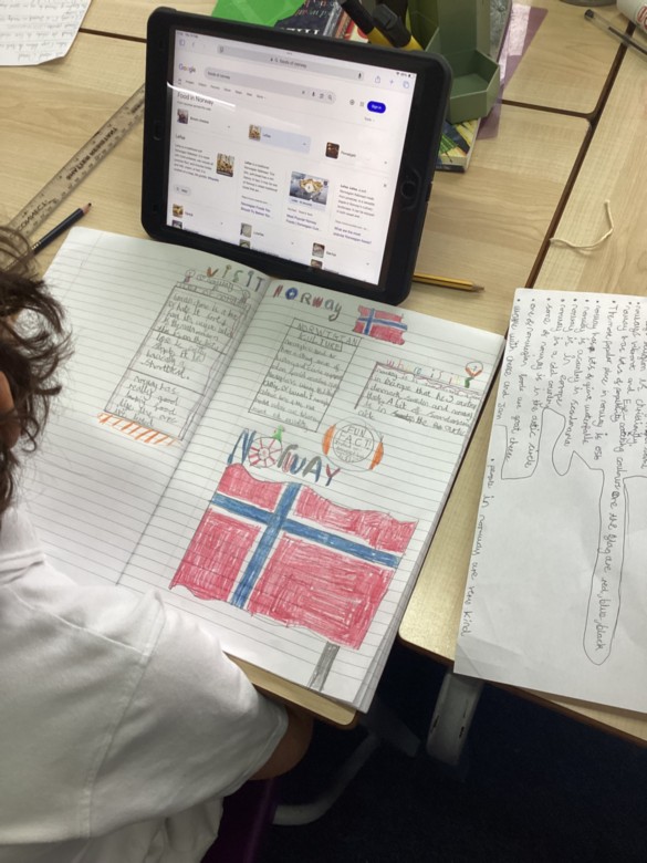
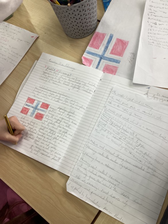
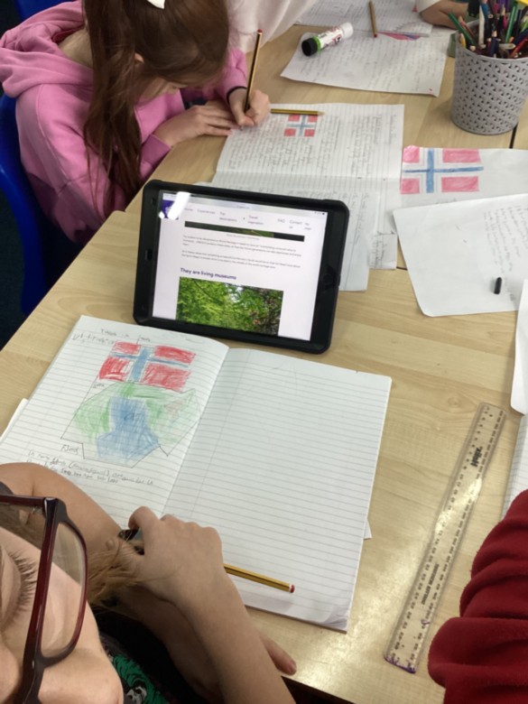
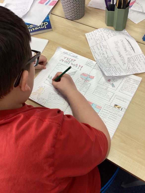
Scandinavia
Year 5 have been learning about the geography of Scandinavia this half-term. We have been learning about interesting physical features (such as fjords) as well as the similarities and differences between human geography. We are presenting our learning about the culture and landscapes of Scandinavian countries as holiday adverts in our books.
Areas of Significance
Today in year 3 we have been looking at areas of significance as part of our geography lesson. We pointed out where Egypt was, as we having been learning about this in history, and talked about what continent Egypt is in. We also looked at places that our significant to ourselves such as; where family members were born and where classmates have moved to.
"Our classmate moved to Australia so I looked for Australia which isn’t in Europe”
“I was born in Thailand which is in the continent of Asia”
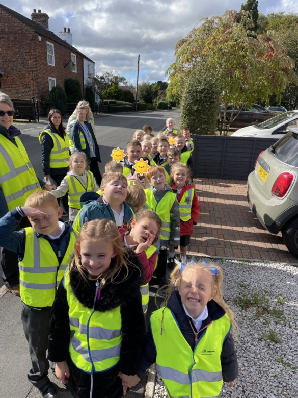
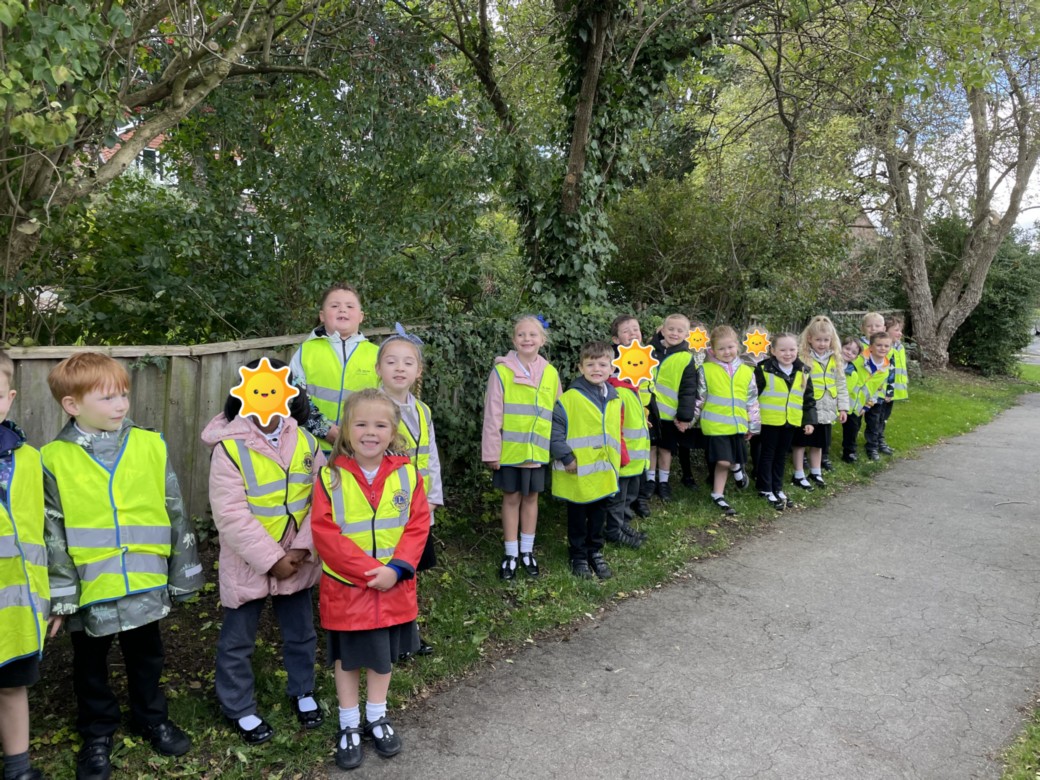
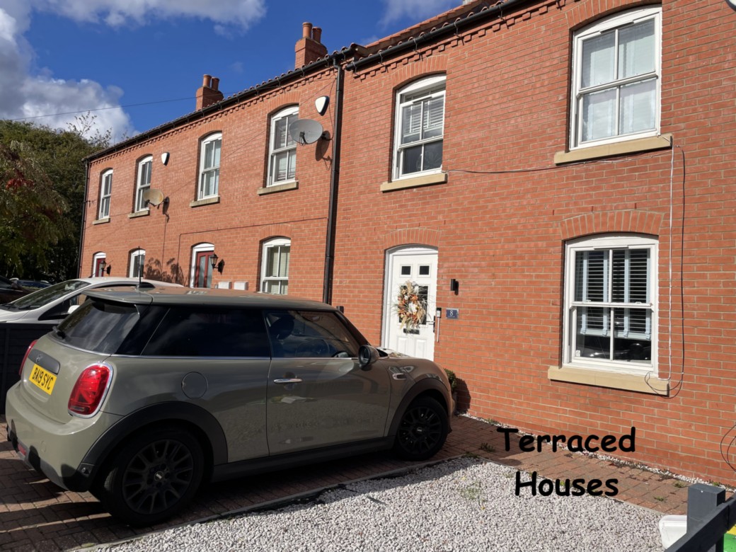
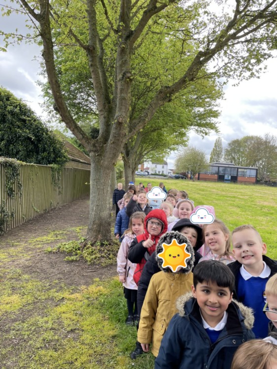
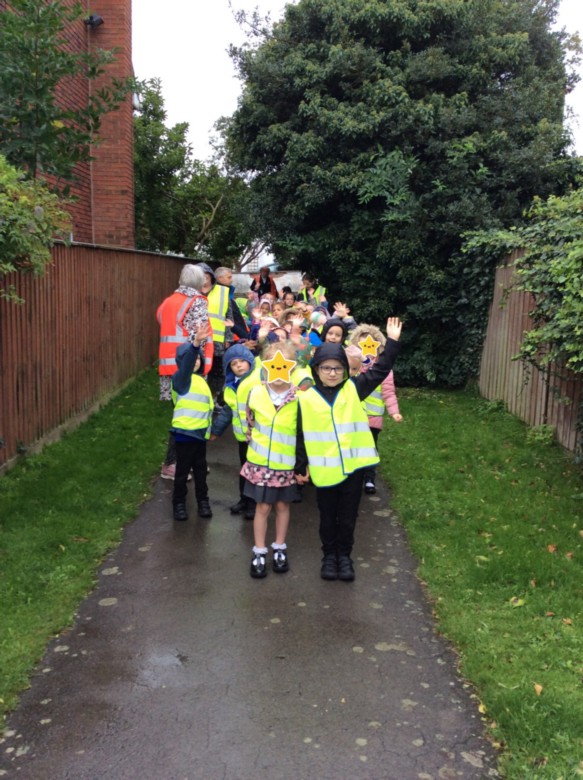
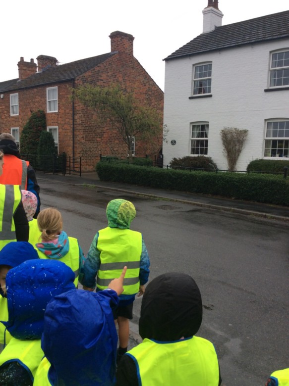
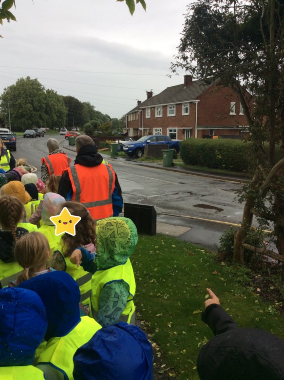
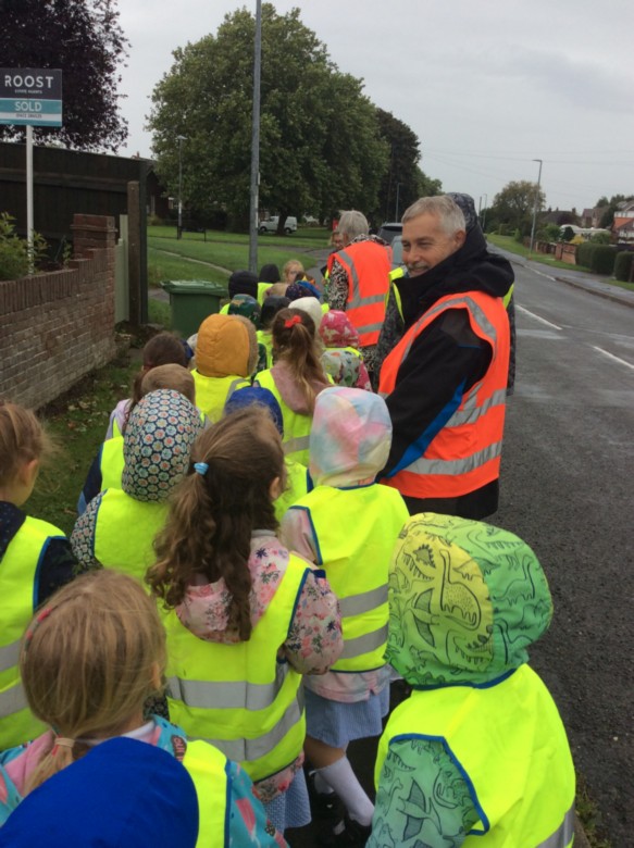
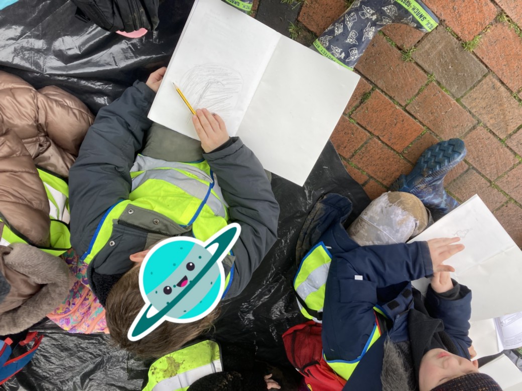
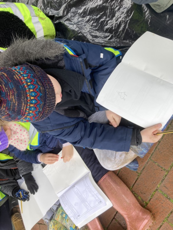
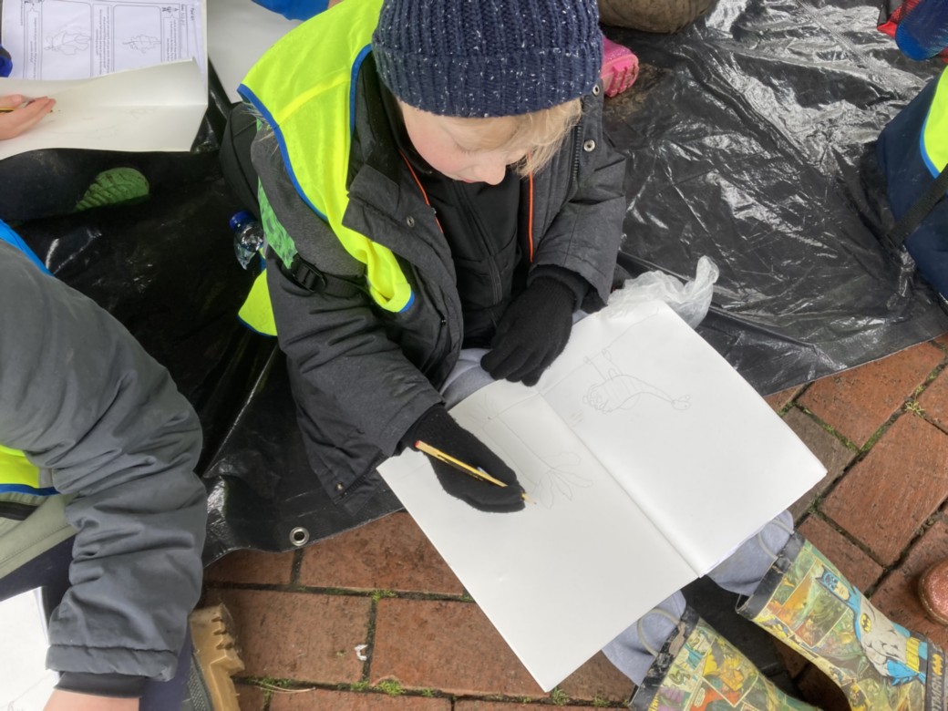
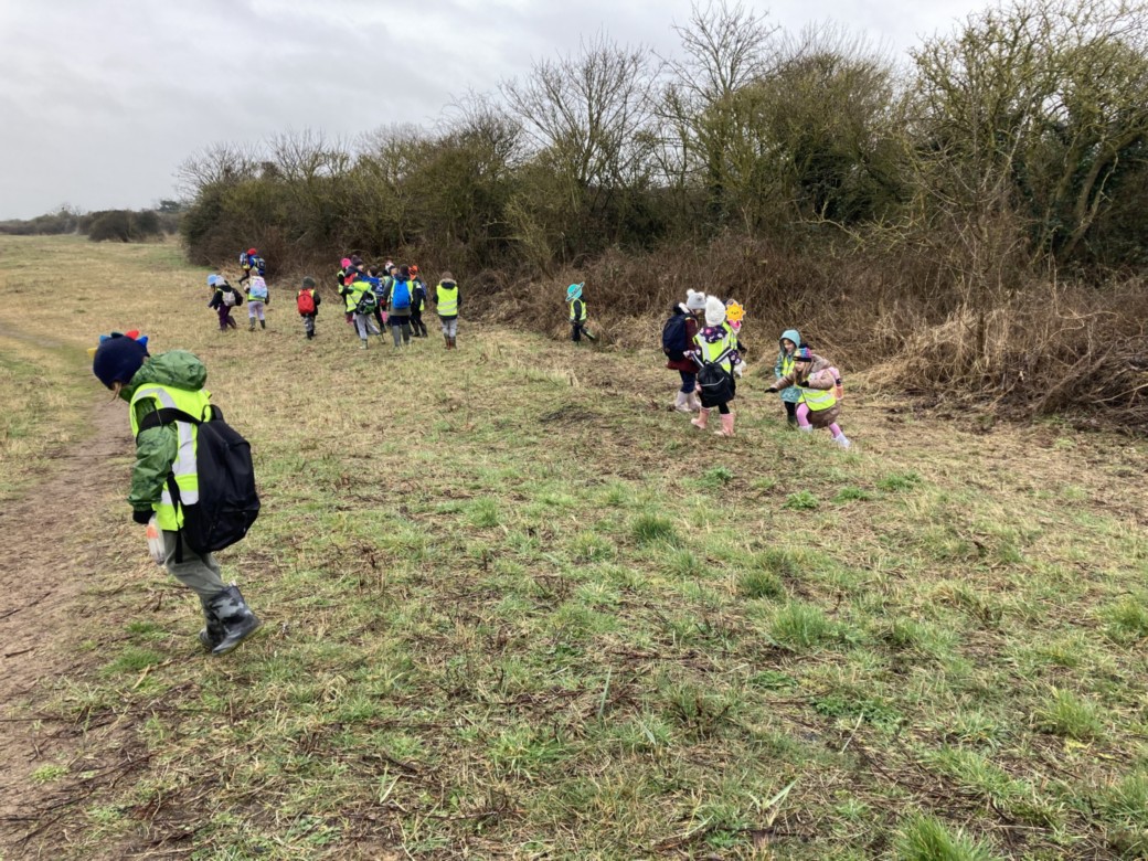
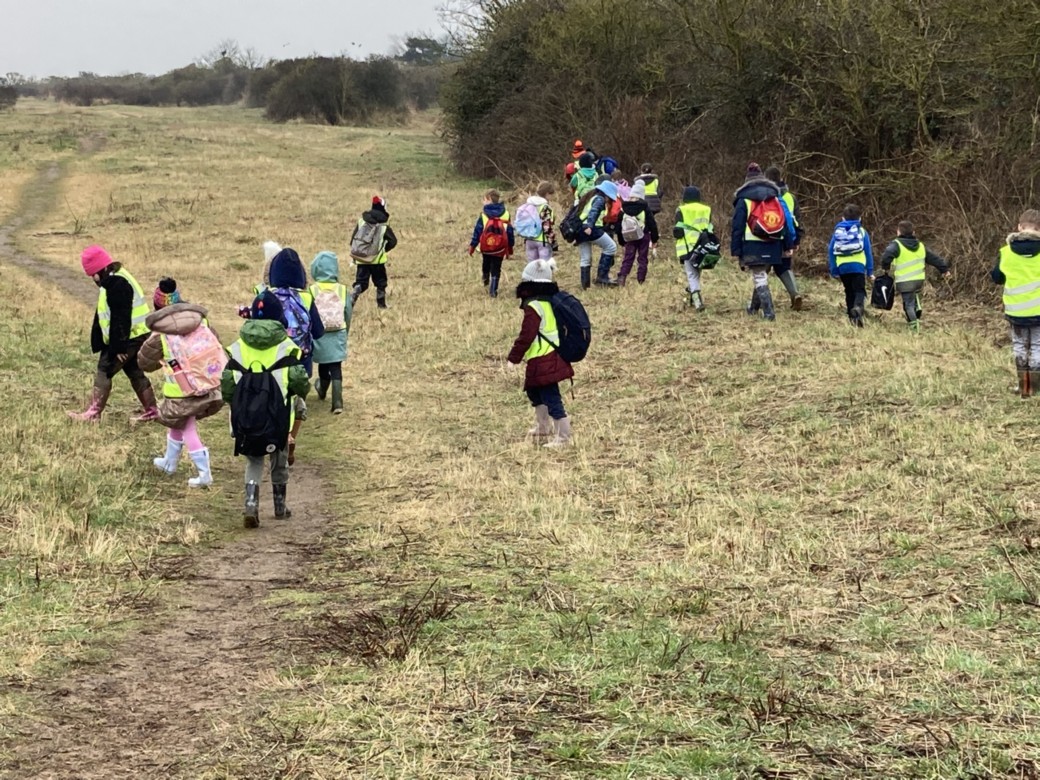
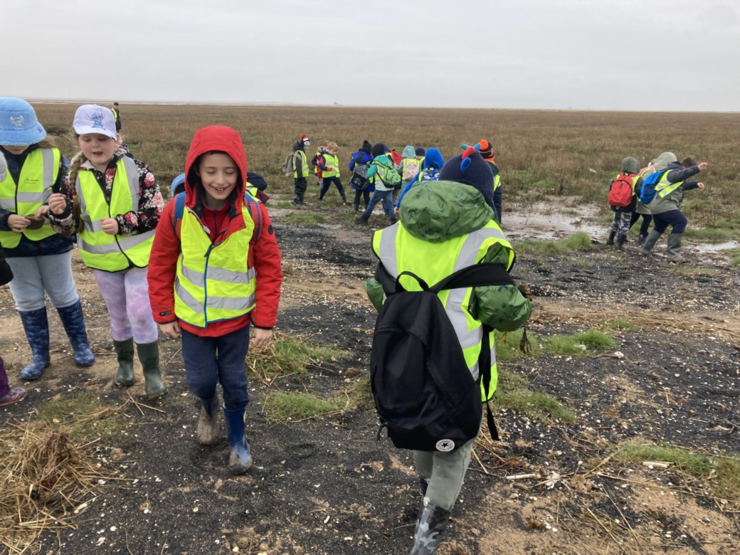
Laceby Field Work Walk
Year 1s have been doing some field work around Laceby.
We have been learning about the different types of houses and looking at the age of houses.
After looking at a map of Laceby, we went on a walk to spot as many different styles of home as we could.
We found: detached, semi-detached, terraced, bungalows, cottages and even a house in the style of a Tudor house.
Pupil A: “I spotted the black stripes made out of wood”
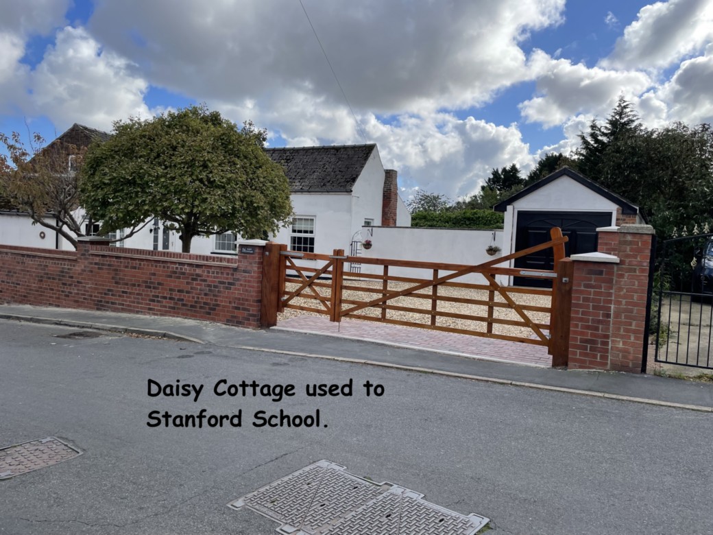
Pupil B: “We know it’s a modern house because it has bricks as well and Tudors didn’t use bricks.” We also found Daisy Cottage, which children were fascinated to learn, used to be our school! Look out for our local artwork later this Term.

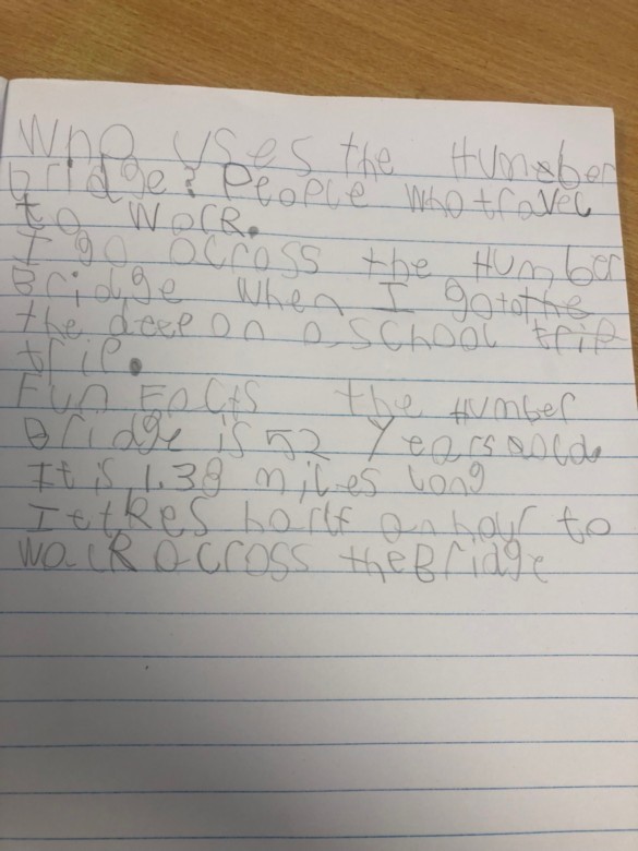
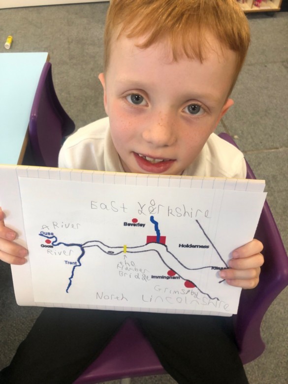
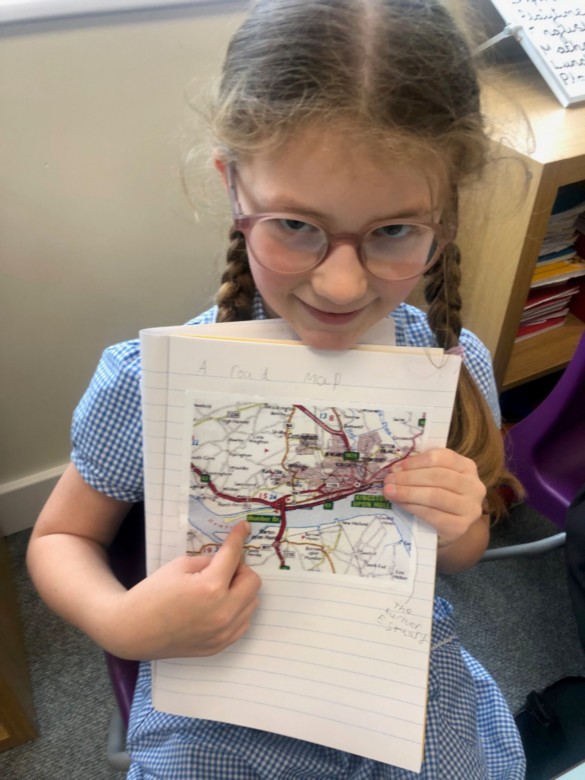
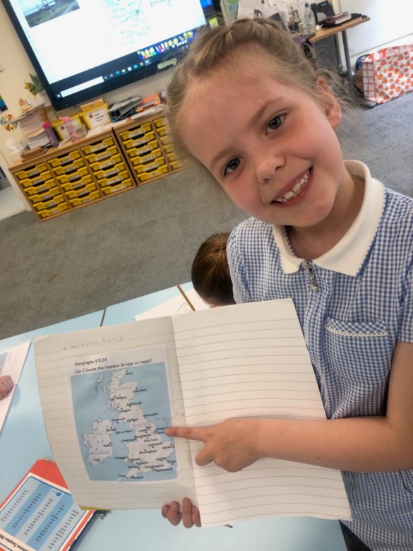
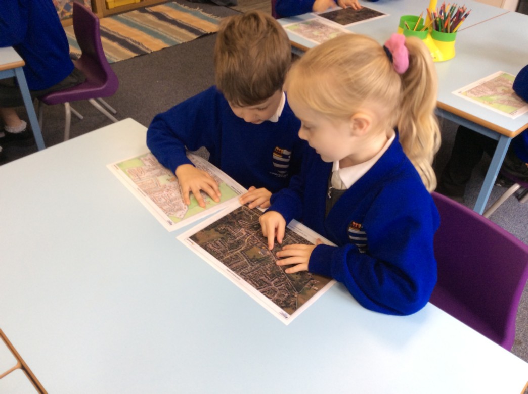
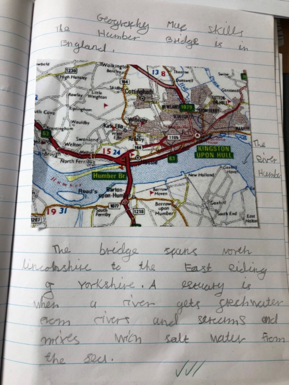
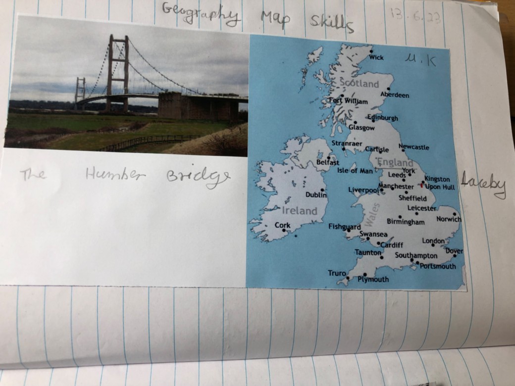
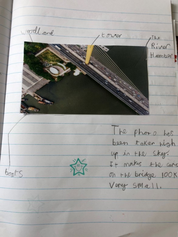
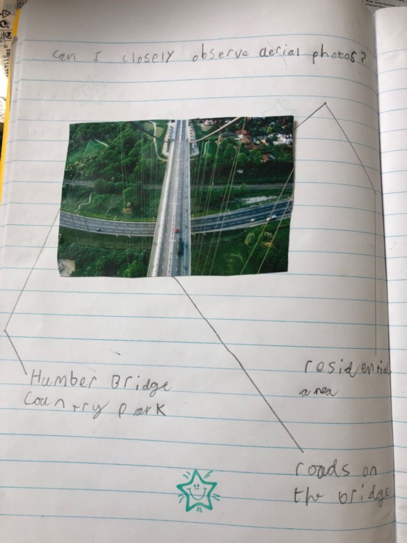
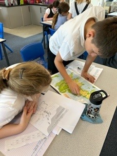
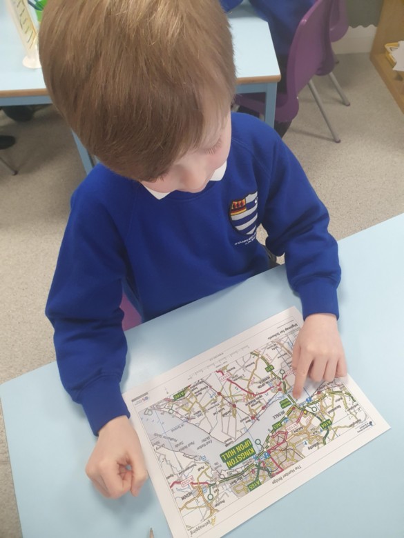
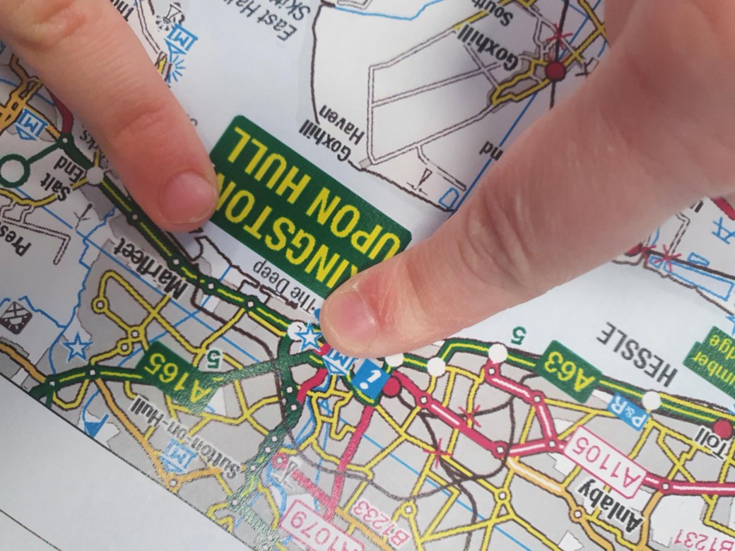
Map Skills and Research in Geography
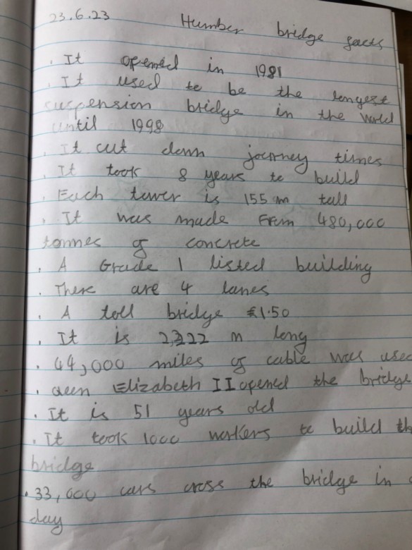
The Year 2 children used a range of maps to locate the Humber Bridge and they considered why the Humber Bridge is so important to people. They then researched some interesting facts about the bridge.
R- My dad has to travel across the bridge every day for his work. If the bridge wasn’t there it would take him ages to get to work.
J- If you walk across the bridge and back again, it would take you one hour at least.
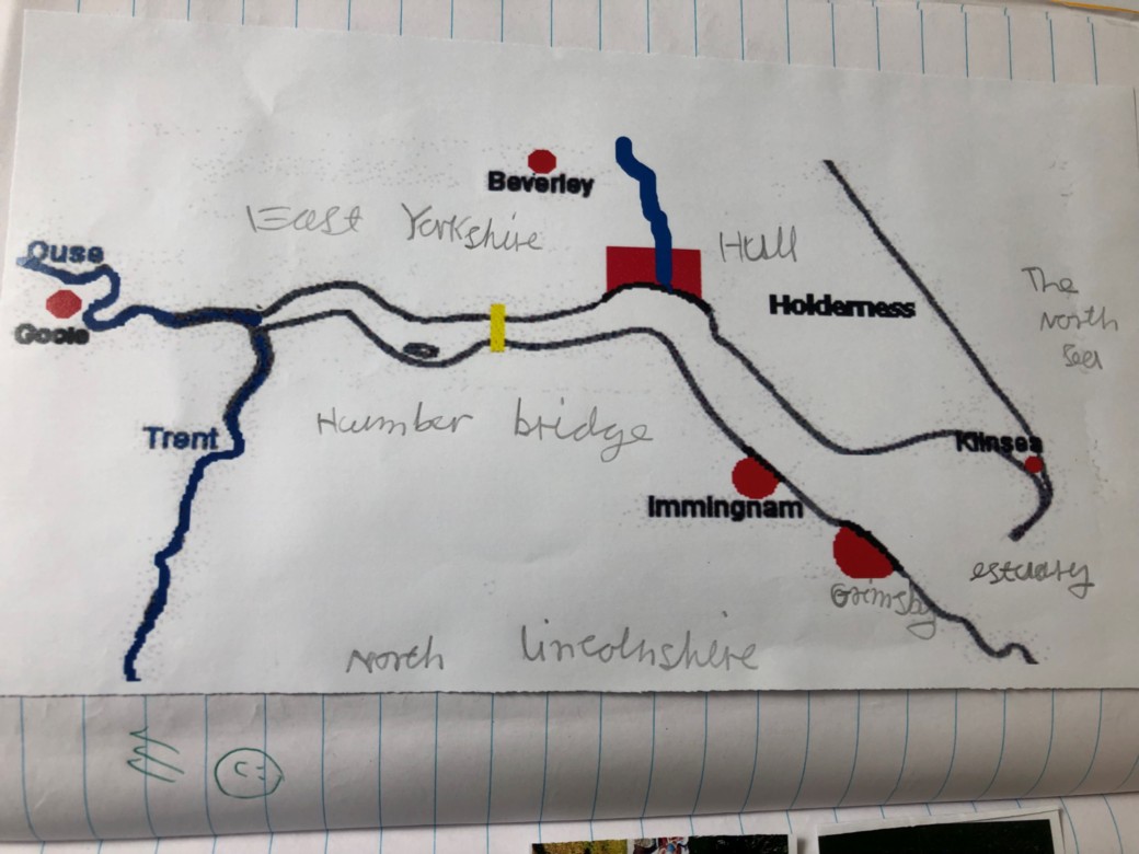
J- I found out that one side of the bridge is in North Lincolnshire and the other side is in East Yorkshire.
W- I travel across the Humber Bridge when I visit The Deep in Hull.
K- I spotted some other places on the maps that I have been to like Immingham and Grimsby.
C- The river the bridge goes over is the Humber Estuary.
S- I can’t wait to see the Humber Bridge when we go on our trip!
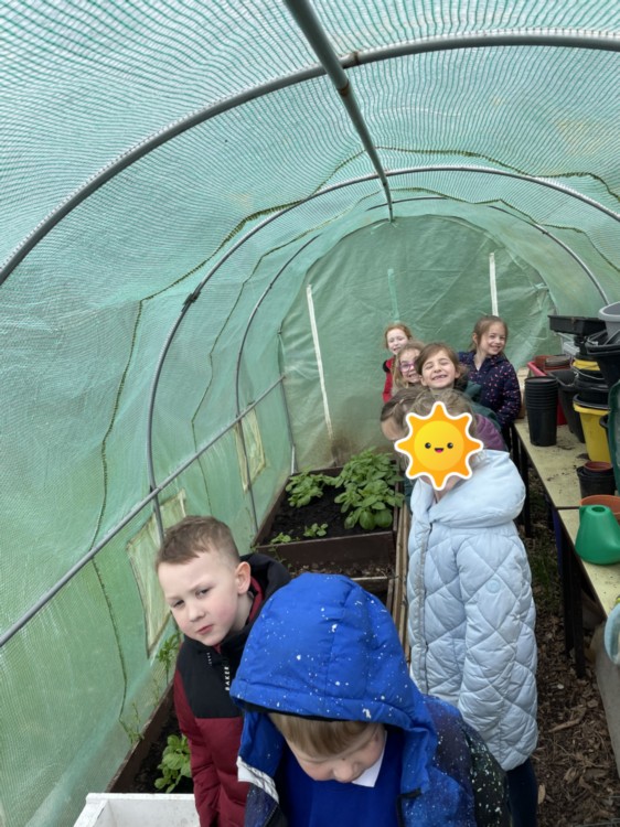
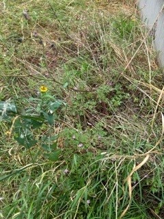
Y1 Fieldwork
Year 1 have been using their fieldwork skills to search the school grounds.
We are studying plant life and our challenge was to discover different kinds of plant life around the school.
Next we will draw plans of the grounds and mark where the plant life is.


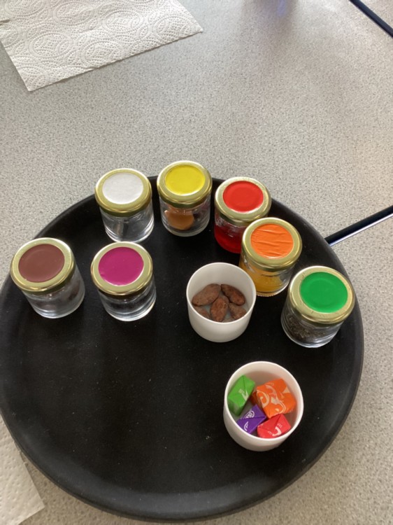
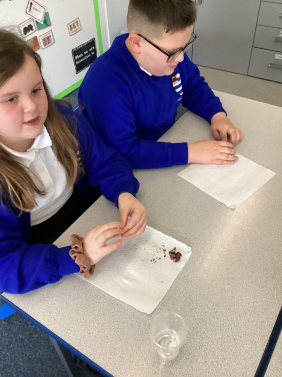
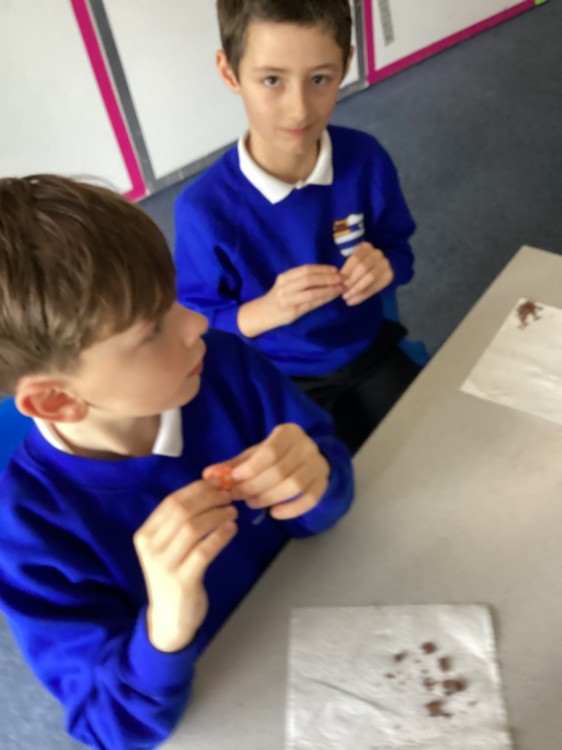
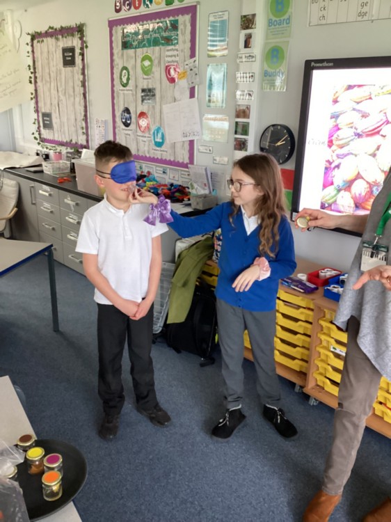
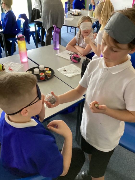
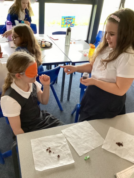
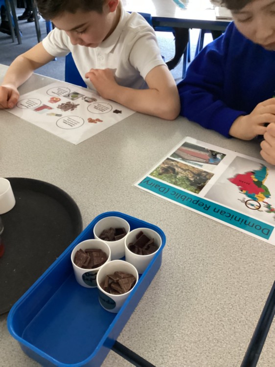
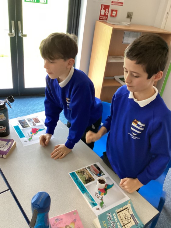
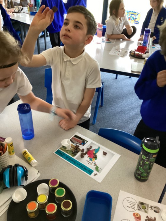
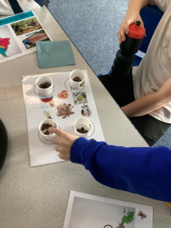
Chocolate Workshop
Year 4 had a special visitor this week who taught us lots about chocolate. We learned about its development throughout history and links to the Ancient Maya civilisation (that we have been learning about). We also learned about the conditions for growing cocoa pods within tropical rainforests and where the ingredients for chocolate are harvested. After this, we were taught some of the skills of what it takes to be a chocolate taster, with blind aroma tests, followed by tasting a variety of chocolates and identifying what ingredients they might include.
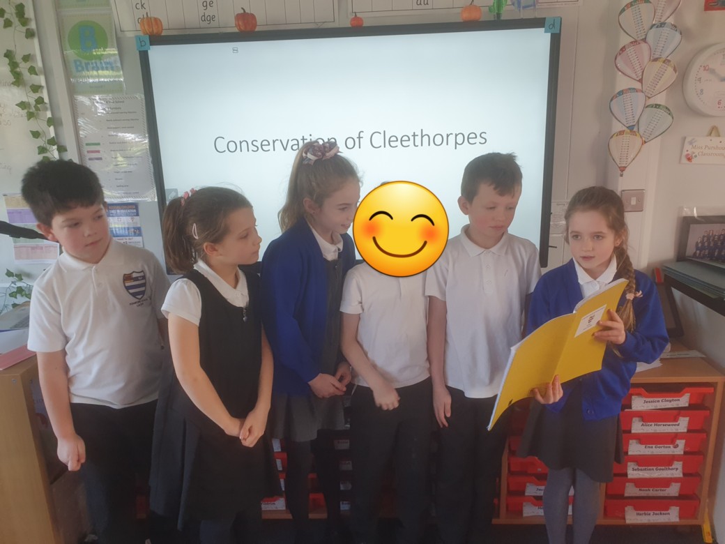
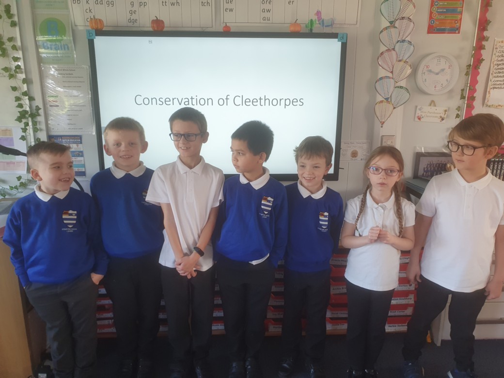
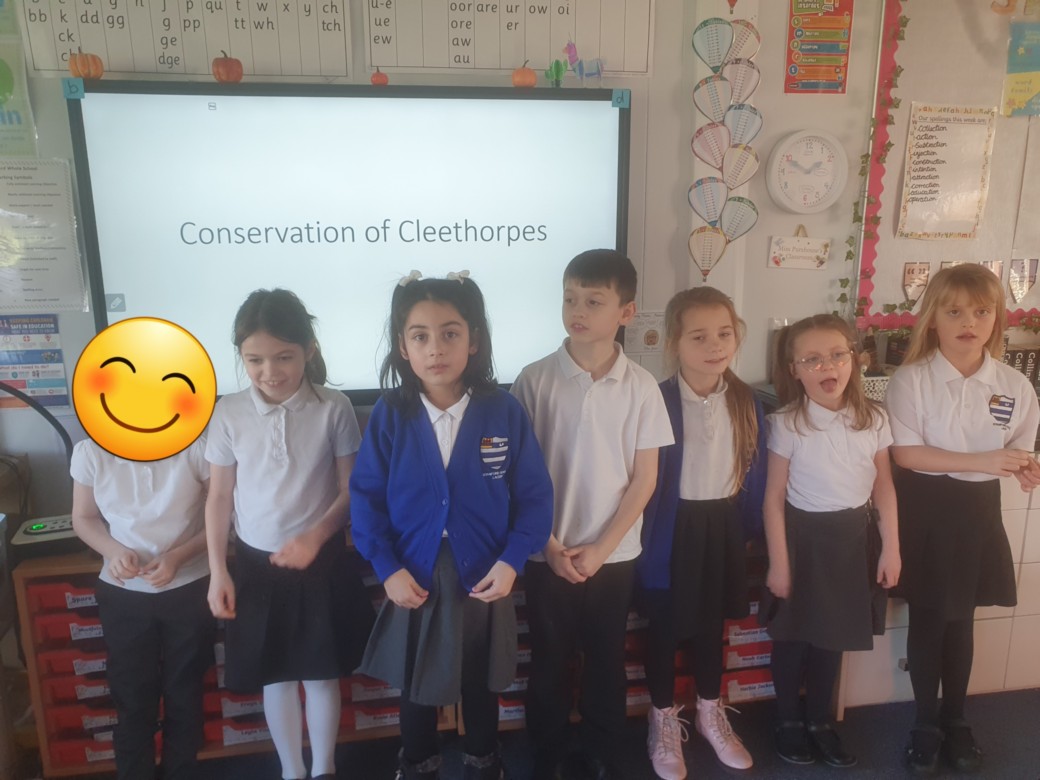
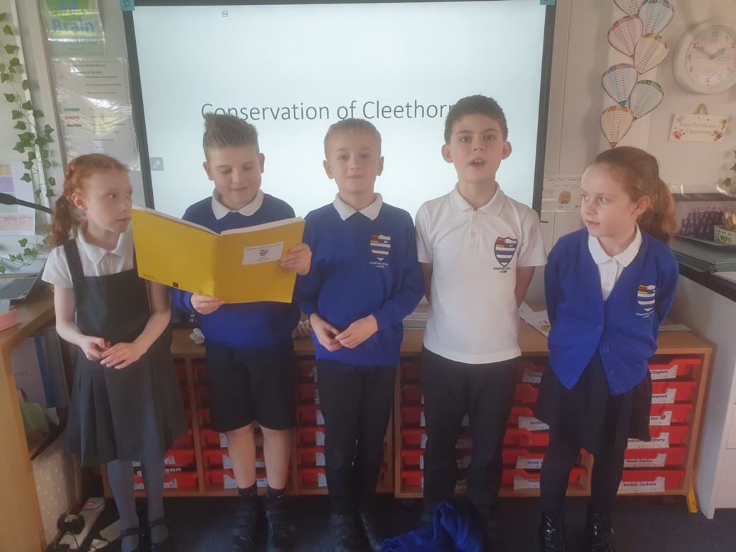
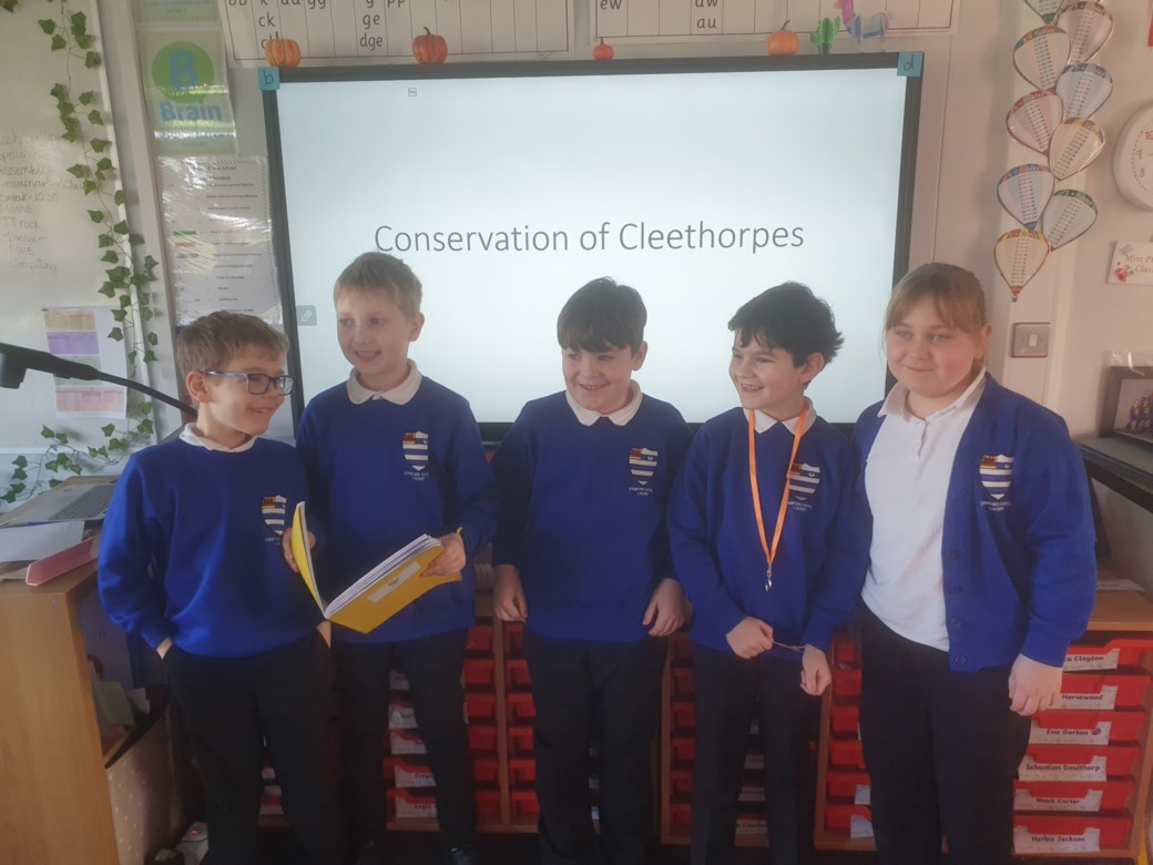
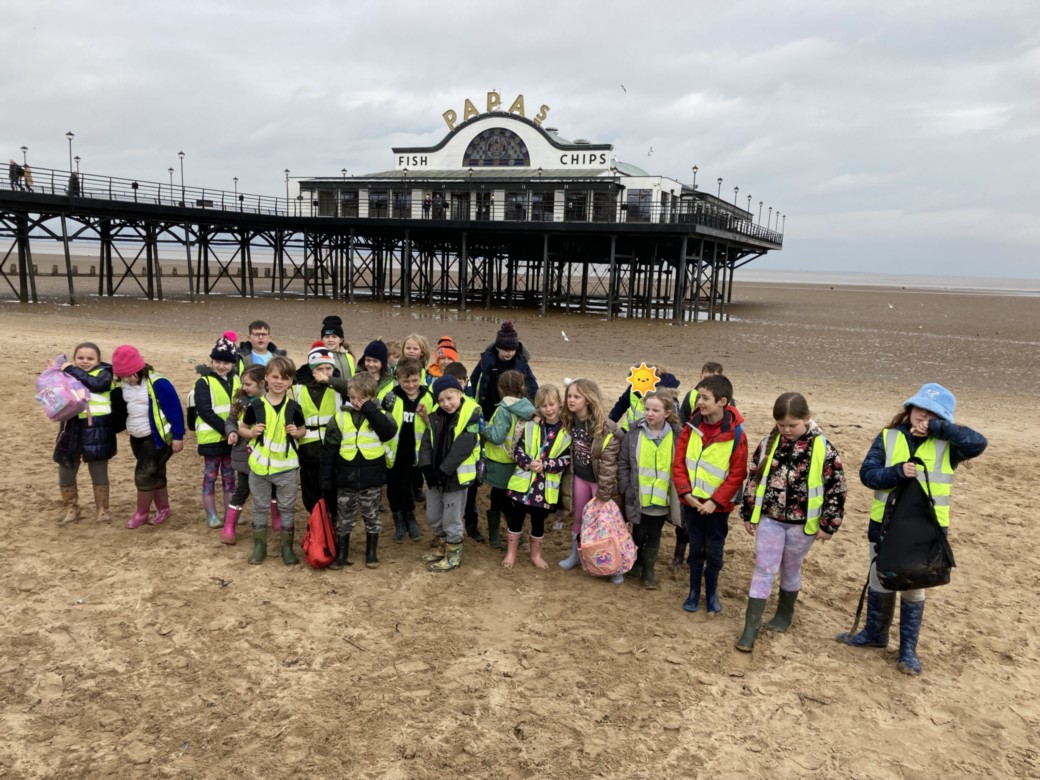
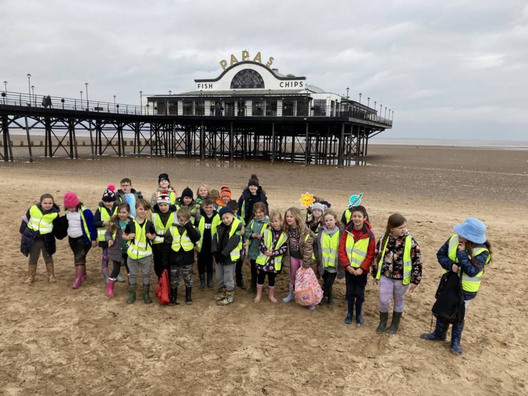
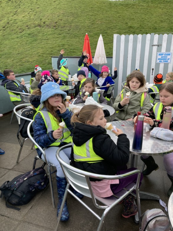
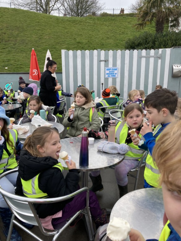
Conservation in Cleethorpes
In Geography Pumpkin class have presented presentations all about conservation of places in Cleethorpes. We learnt what conservation is and why places in Cleethorpes are protected and where abouts they are. We also looked at why Cleethorpes is called a Coastal town.
"I enjoyed presenting in front of the class?"
"I learnt that the pier is protected"
Geographical Features
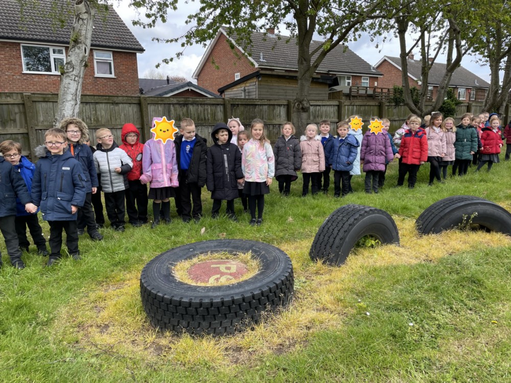
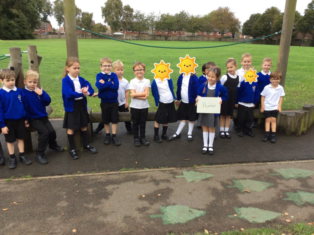
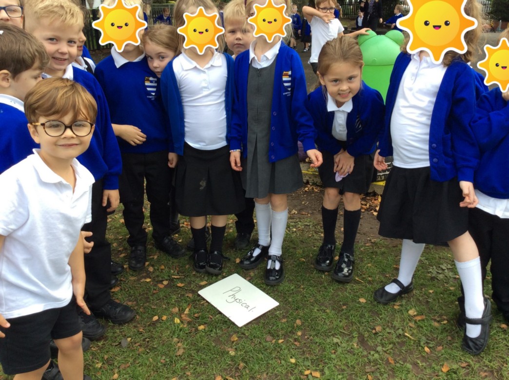
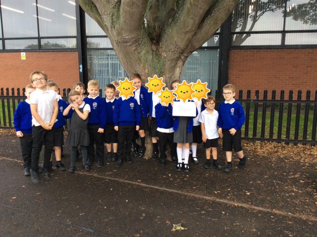
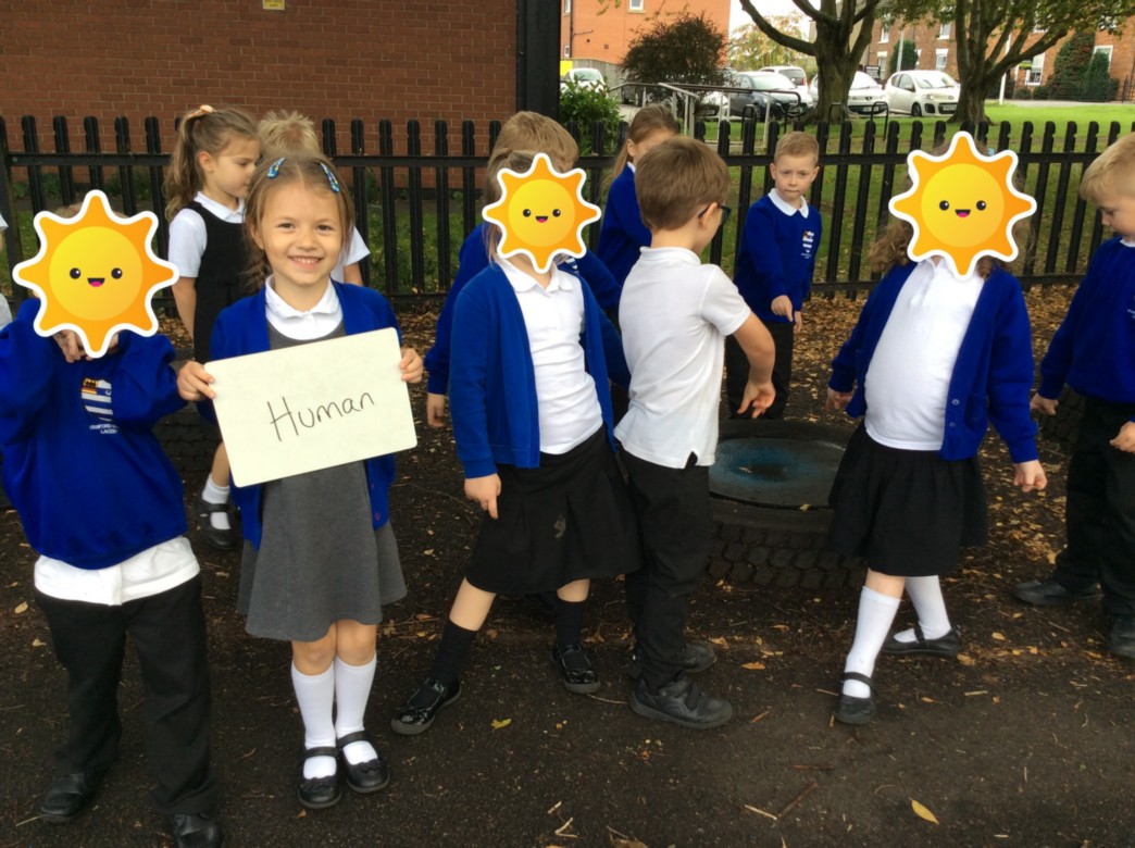
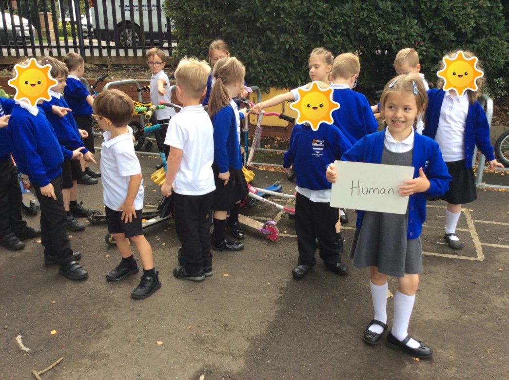
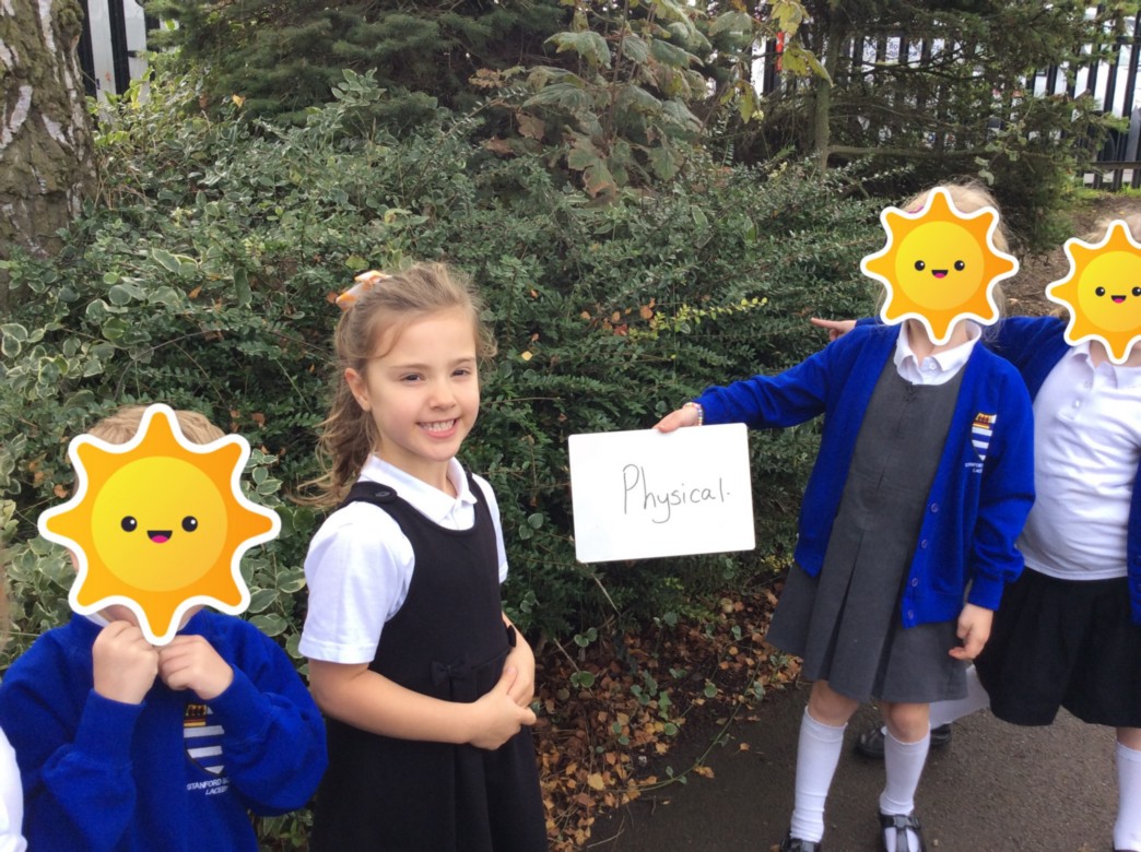
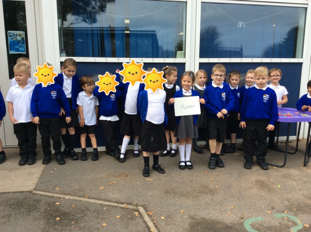
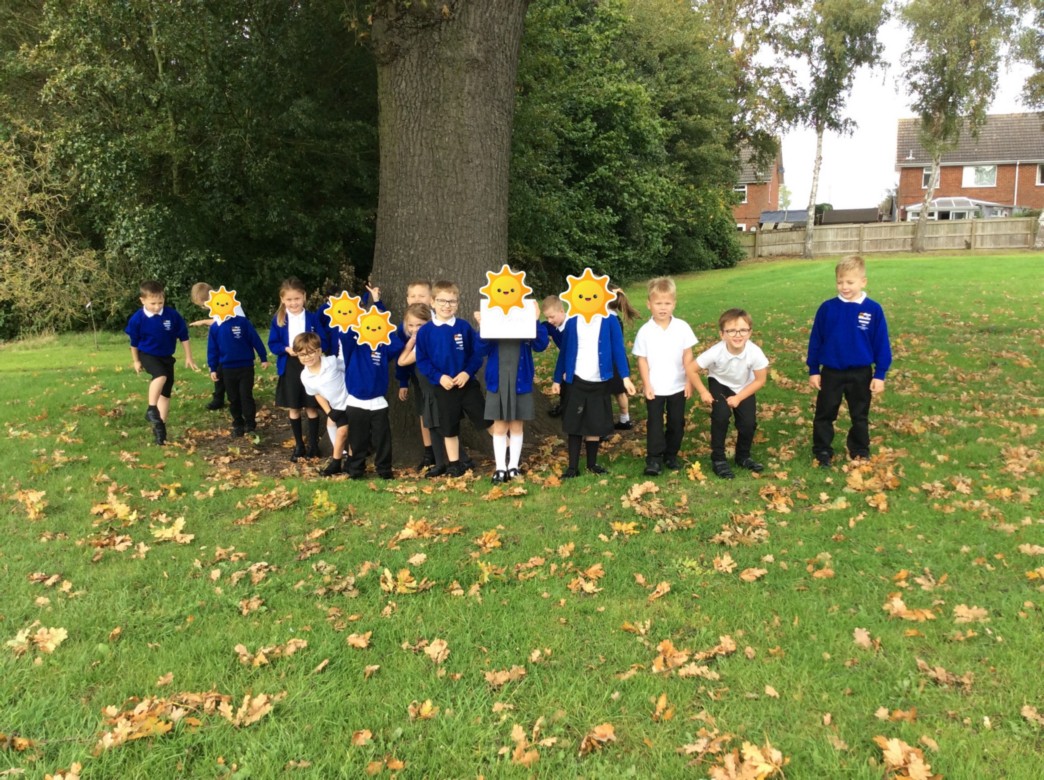
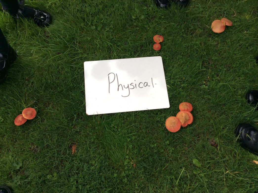
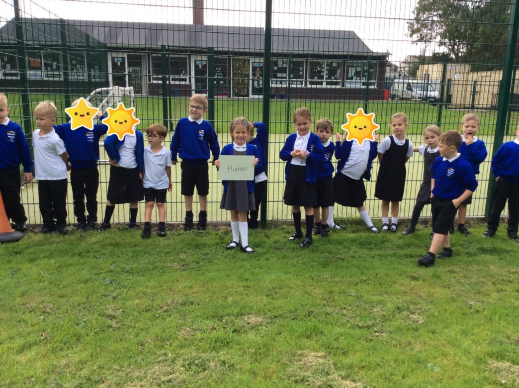
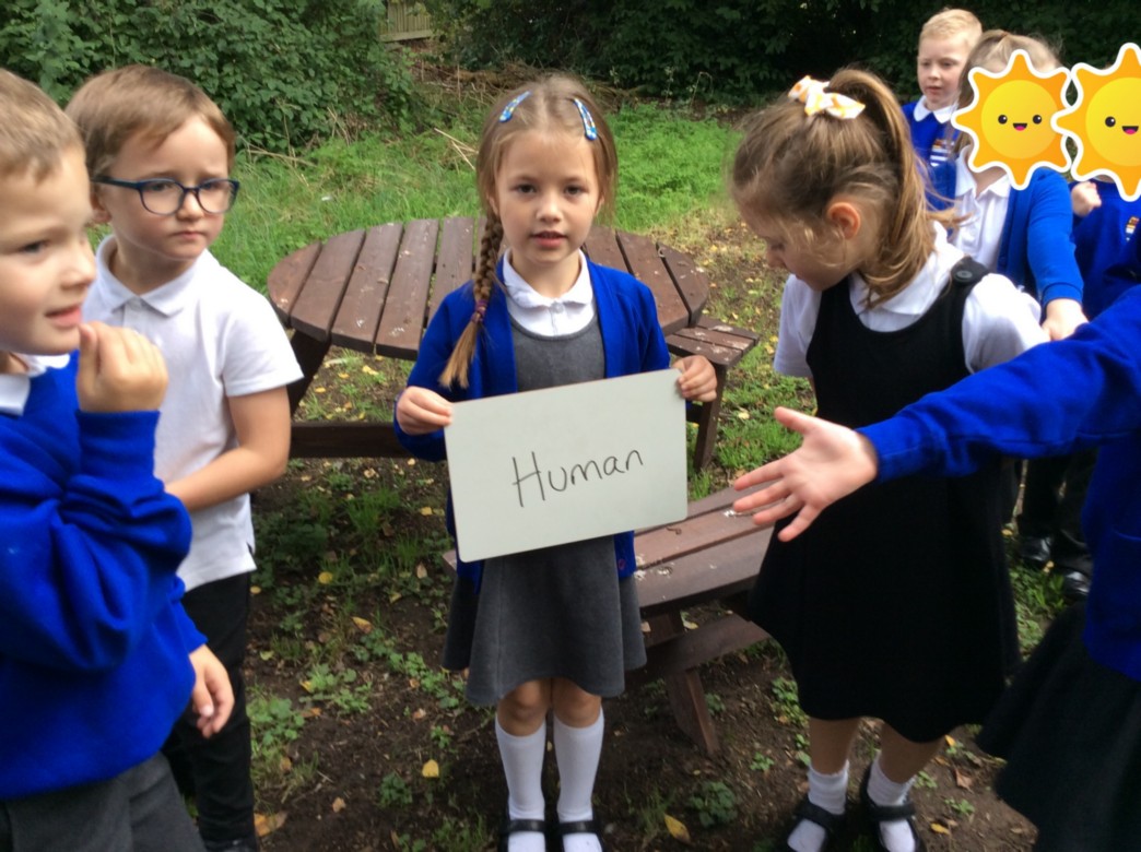
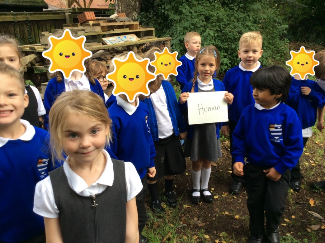
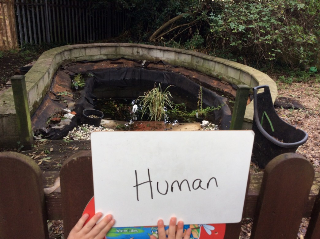
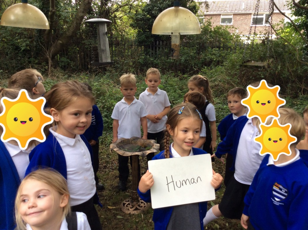
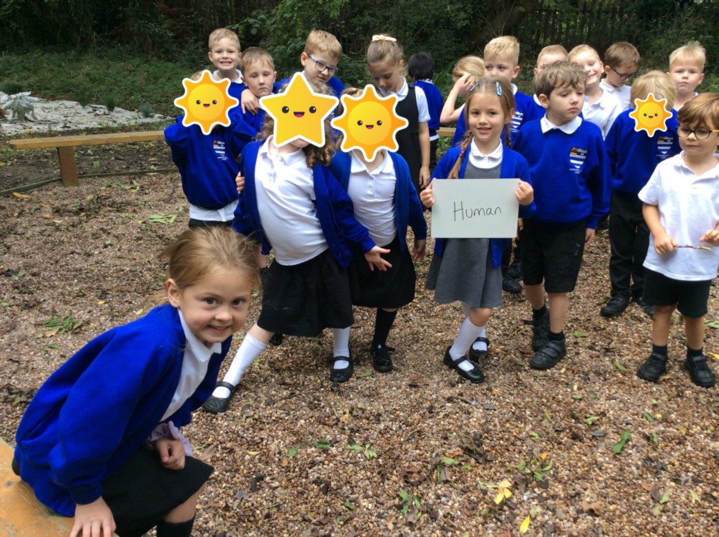
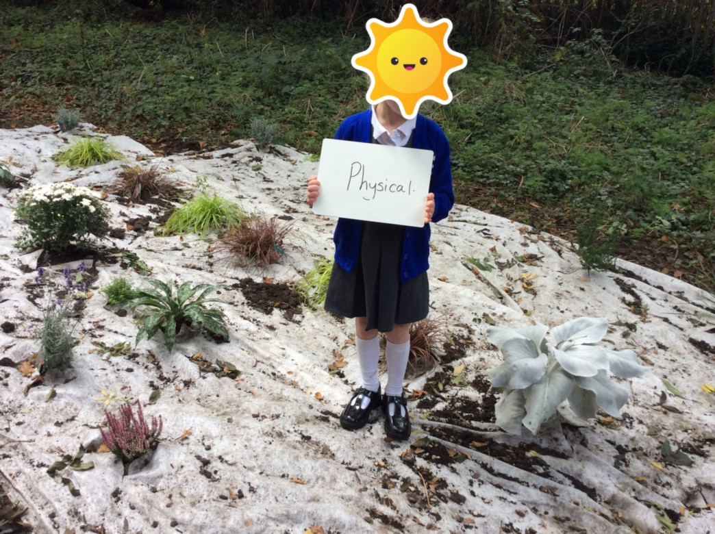
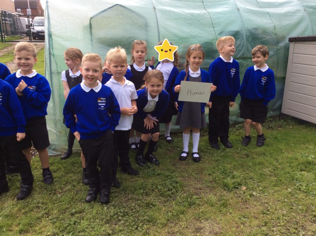
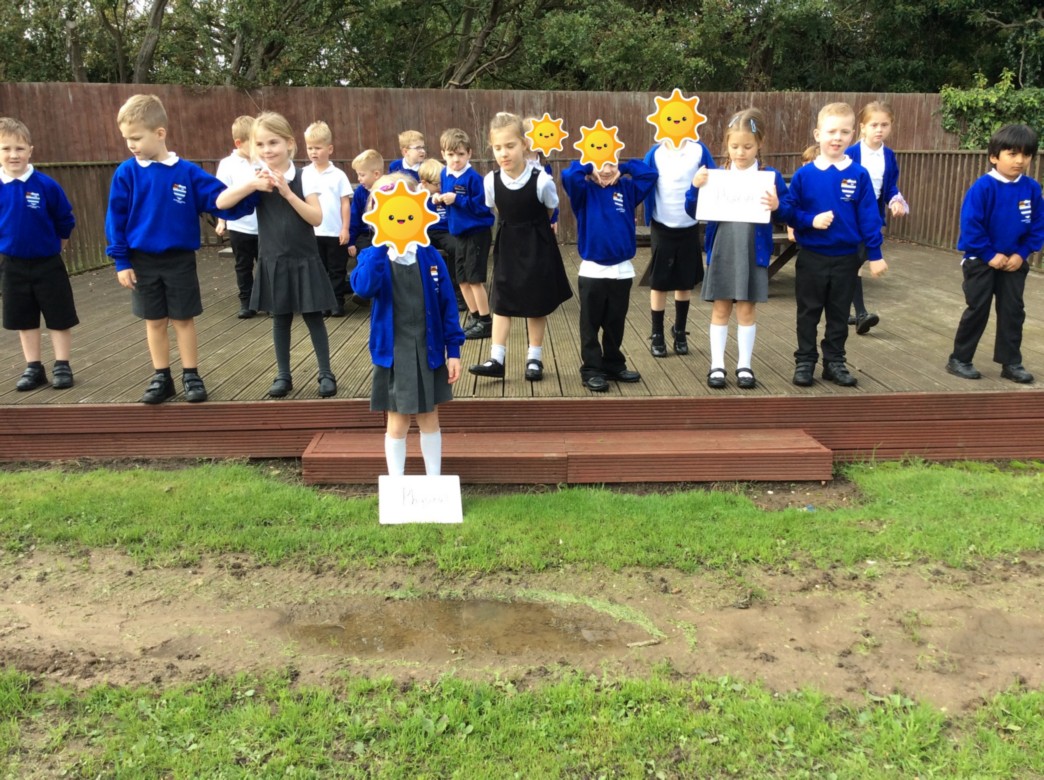
In year 1 we have been learning about human and physical geographical features. Human features are things around us that have been made by humans and physical features are things which are natural items such as the seasons, the weather, plants and coasts. We then went on a hunt around the school to see what geographical features we could find.
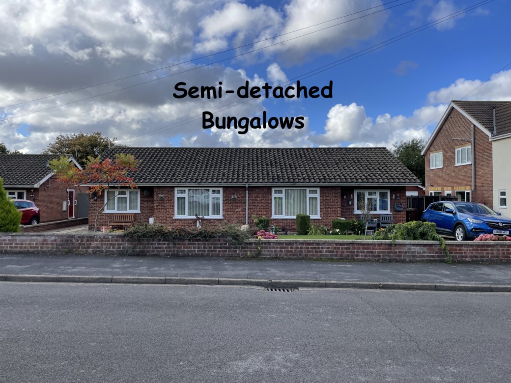
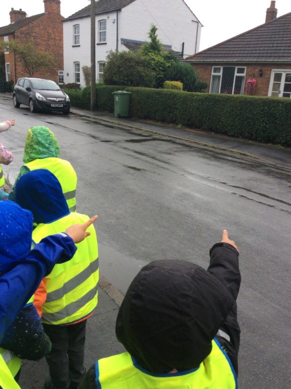
Year 1 Geography Fieldwork Skills
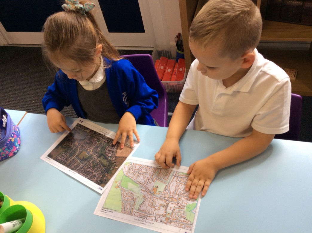
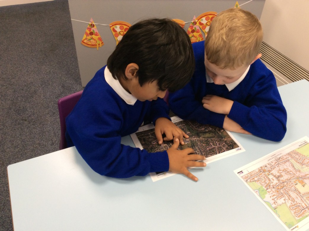
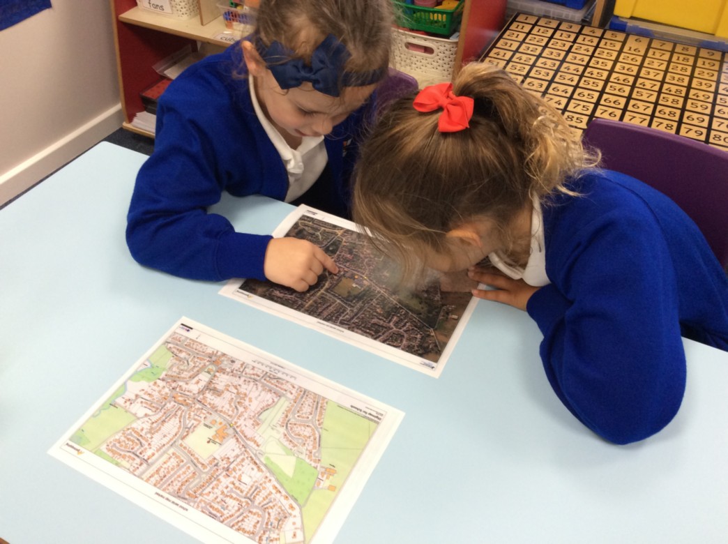
We have been learning about different types of houses, especially those in our village of Laceby. We had a great walk to find all the different styles we had learnt about. Detached, semi-detached, terraced, bungalow and flats. Year 1 children were so polite as they walked around spotting the houses. Take a look at our photos.
When we returned to school, we used a map and an aerial photograph to follow our route and spot the different features we passed on the way.
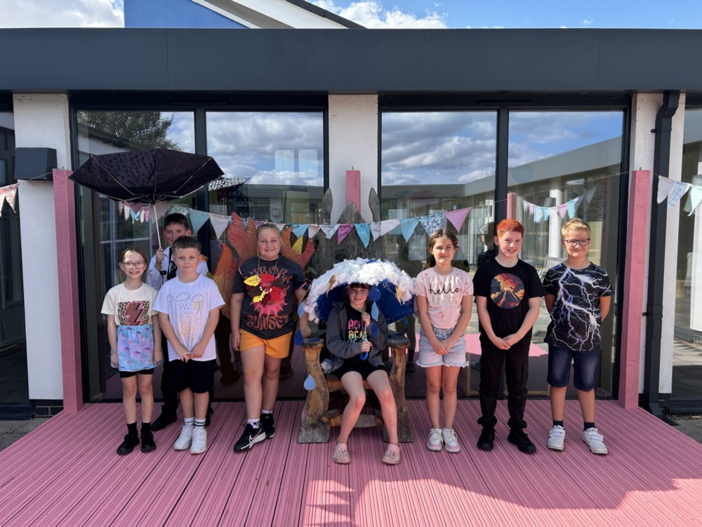
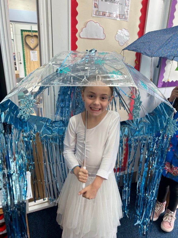
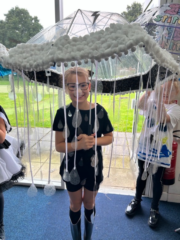
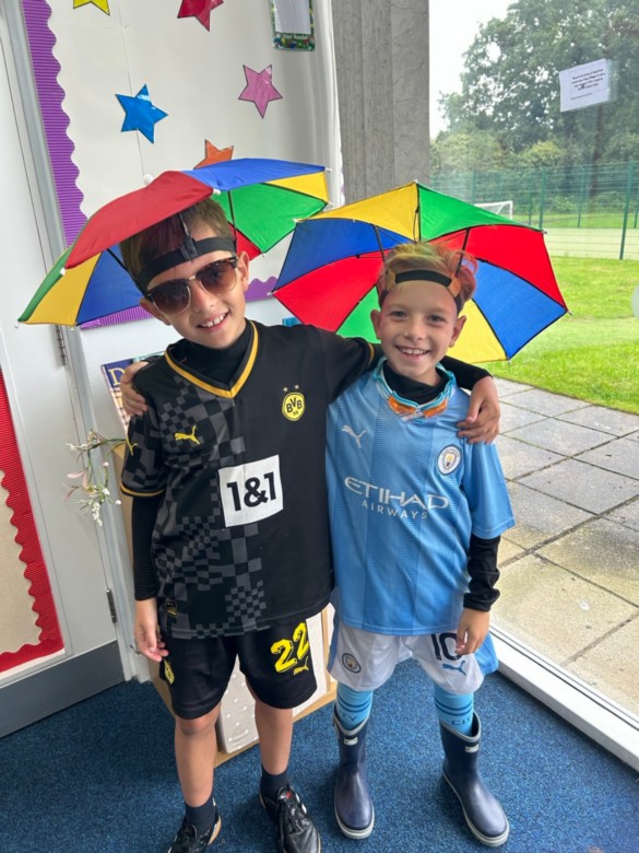
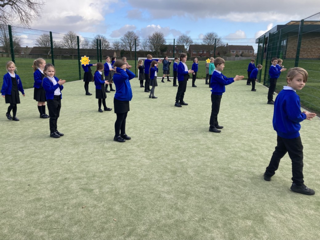
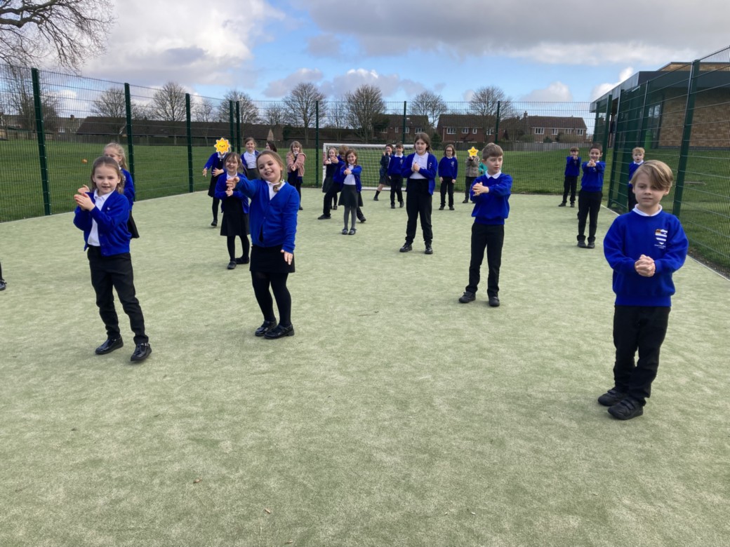
Year 5 had a great Hook Day, learning all about Wild Weather!
We had a fabulous session finding out lots of facts about weather around the world. A wonderful art session, recreating tsunami art using mixed media and learning about the human impact of natural disasters! A wonderful day, with lots of learning and creative costumes!

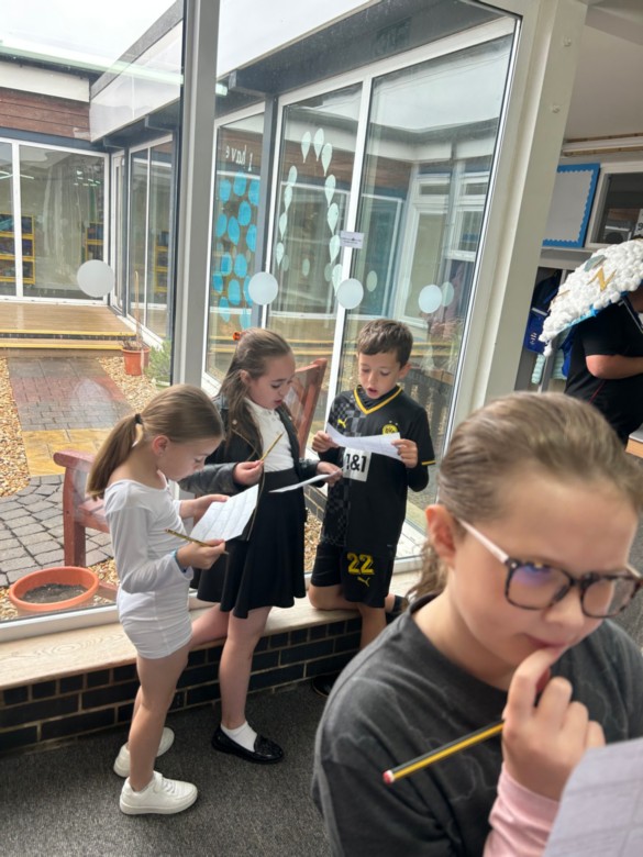
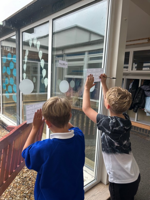
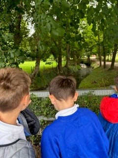
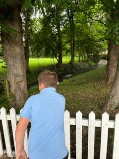
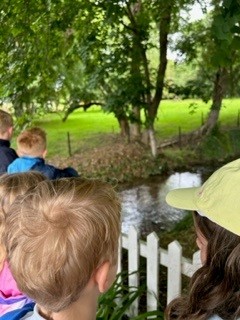
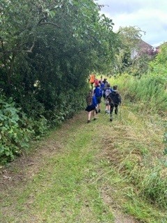
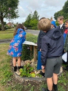
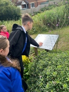
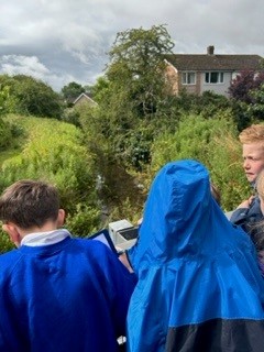
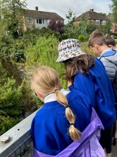
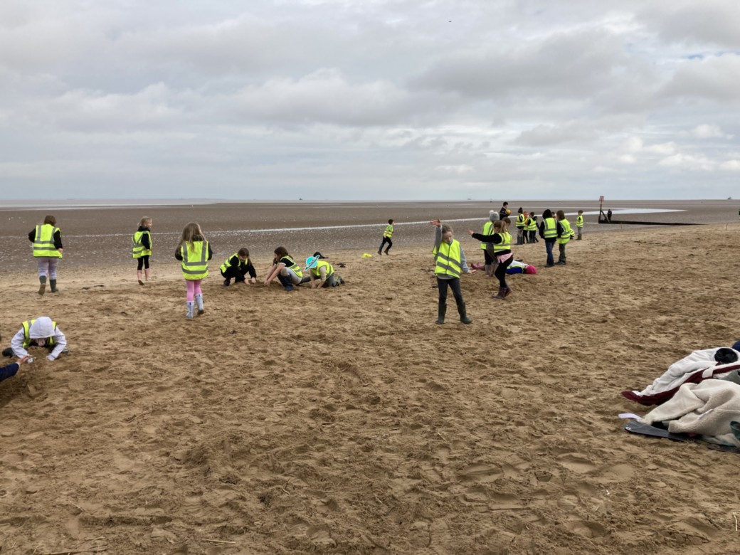
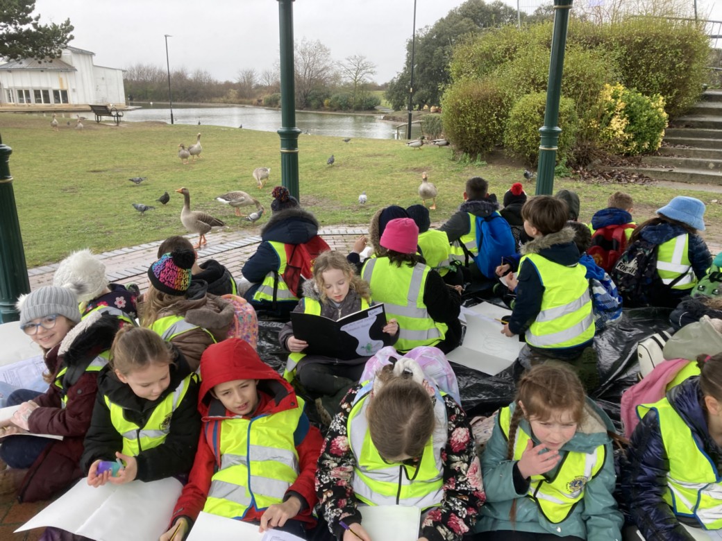
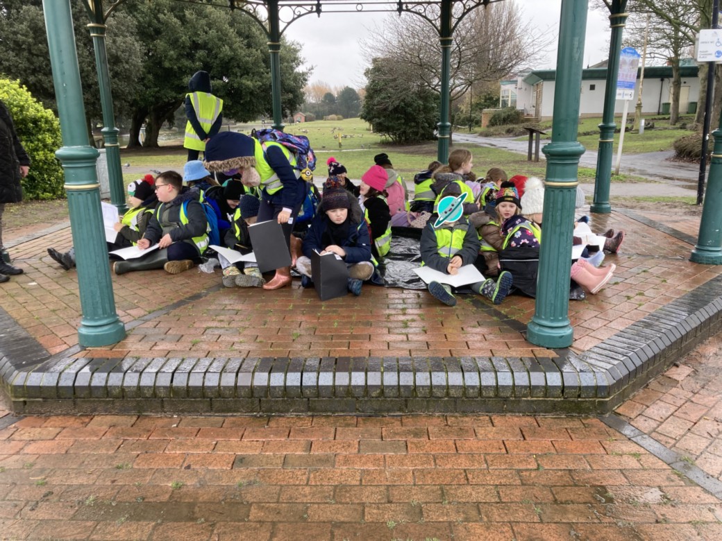
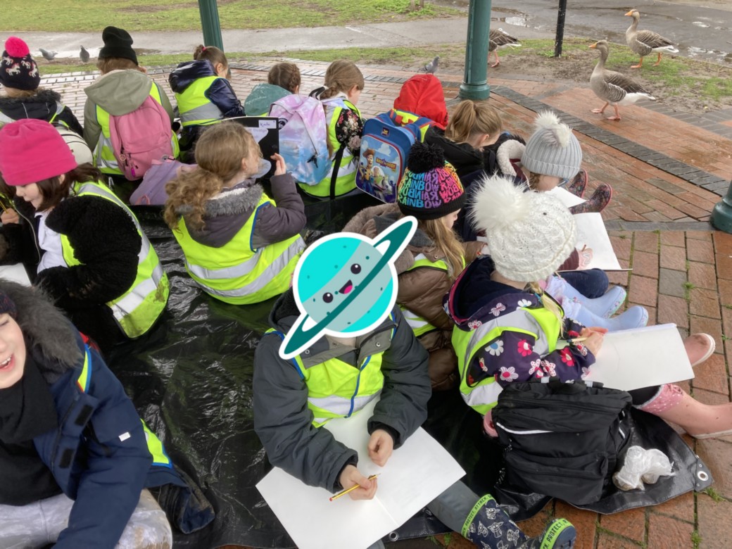
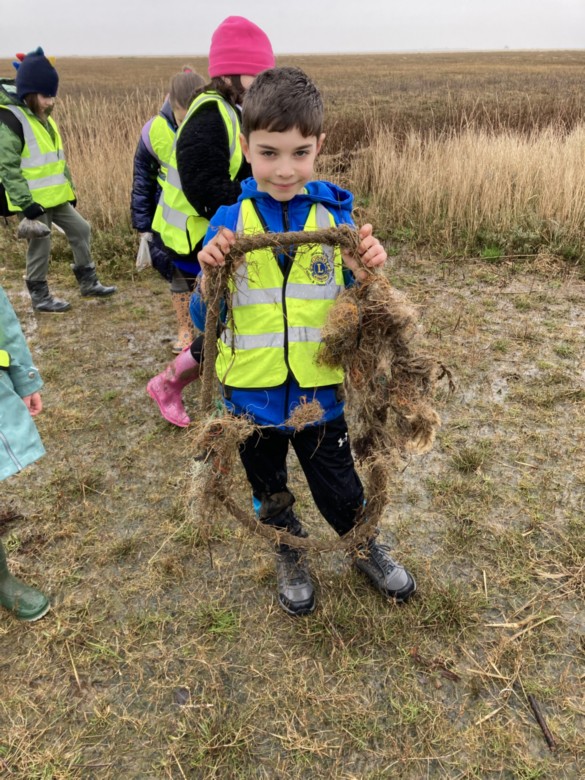
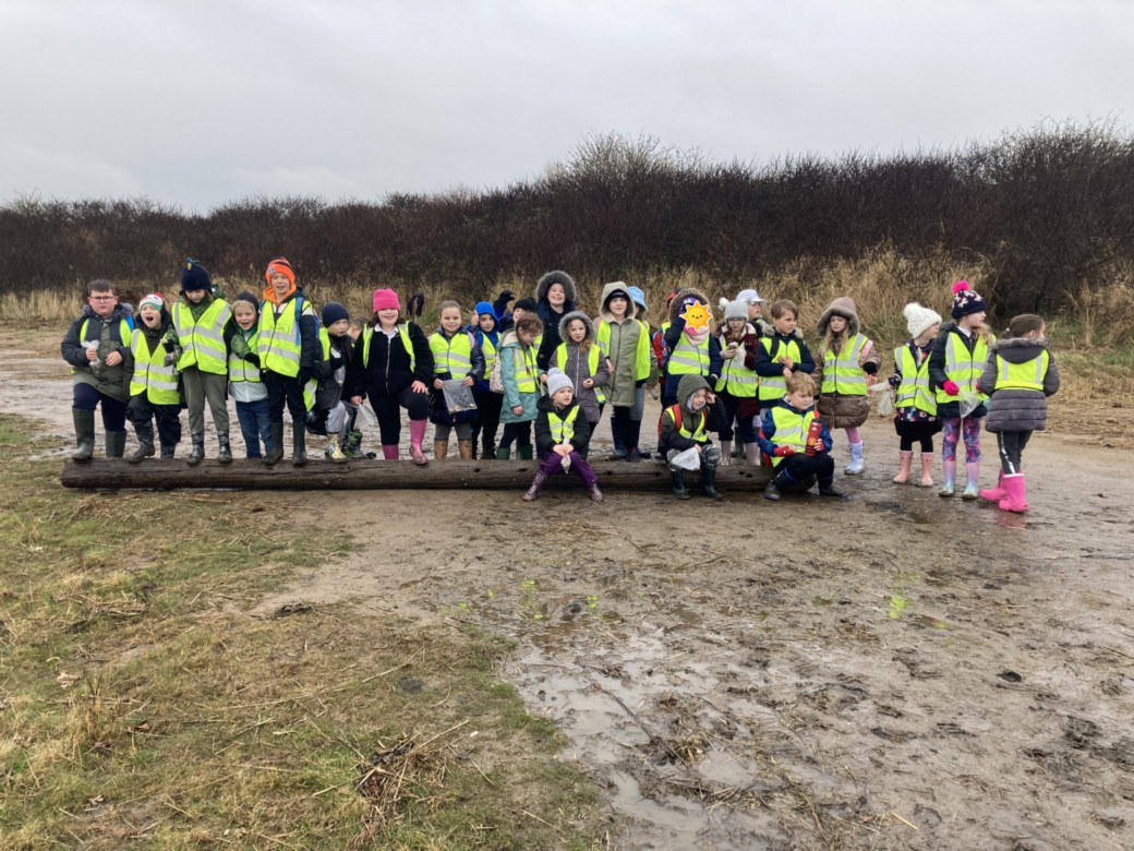
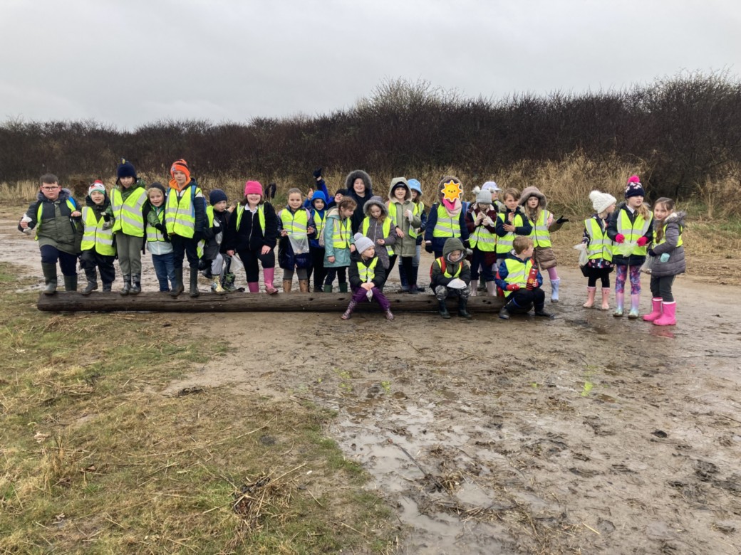
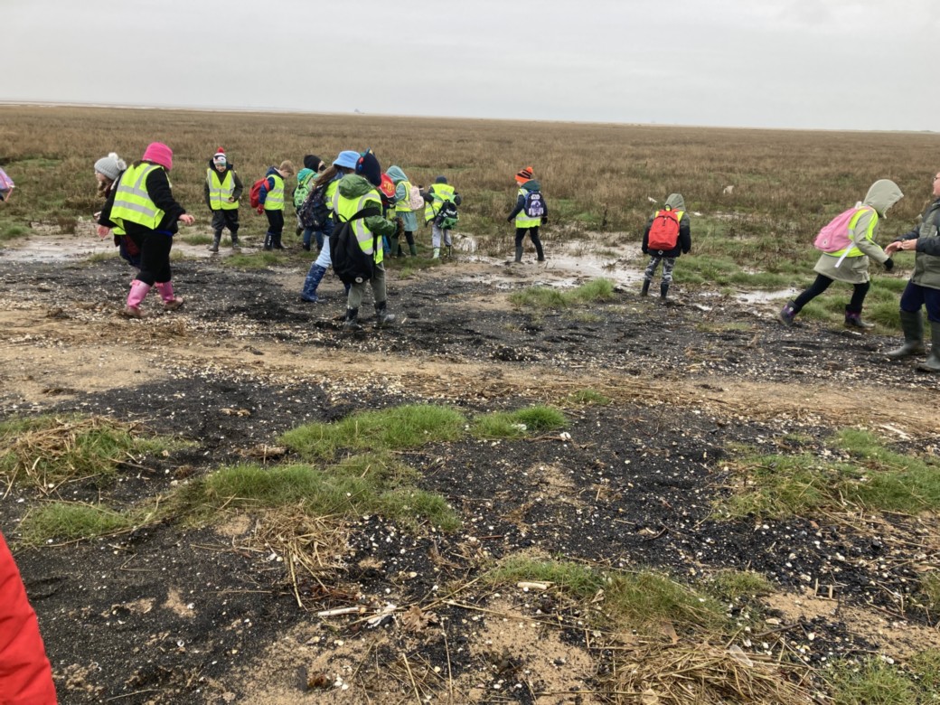
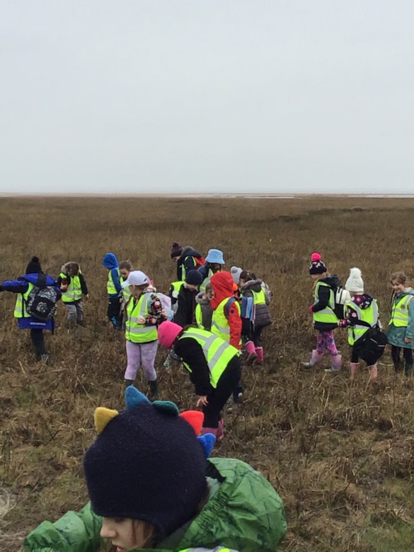
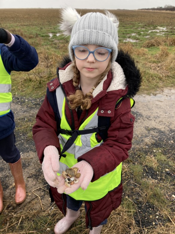
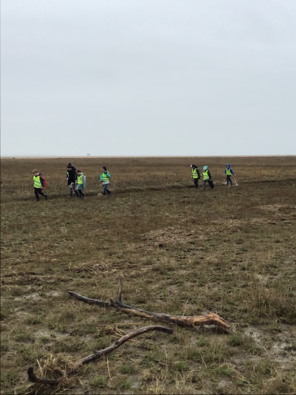
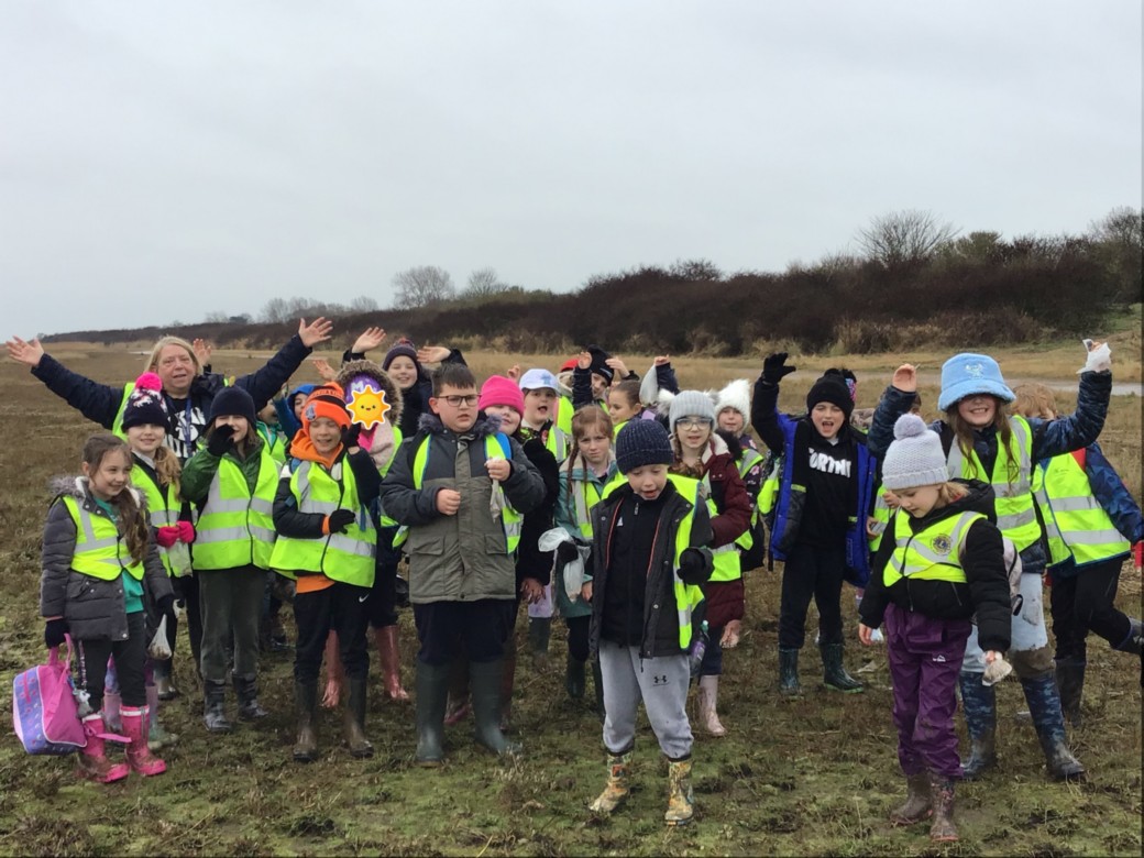
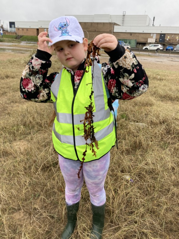
Exploring our local area
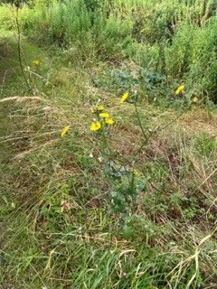
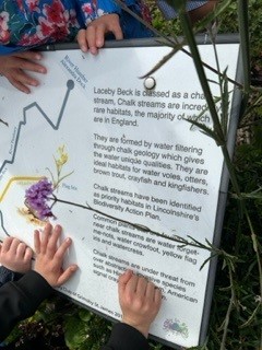
This week Willow class explored our local area. We looked at Ordance Survey maps using keys. We located the source of Laceby Beck and tracked it through Laceby. We visited where it entered the visit and learnt that it is a chalk stream which is quite rare. It was interesting to find out the creatures that like to live in this habitat. We then followed the map through the village to a public footpath where we searched for the Beck the other side of the village.
As a part of our walk, we conducted a litter survey looking for litter hotspots.
On the whole we found the village to be quite clear of litter with just the occasion piece in a view hot-spots.
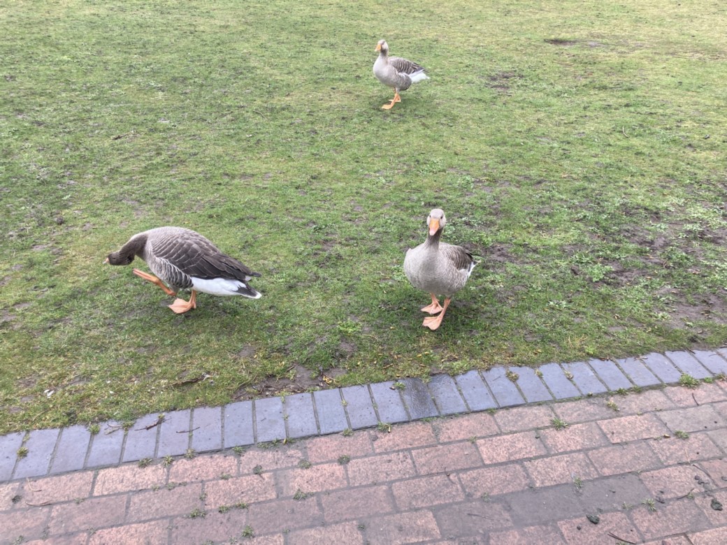
Along our walk, we enjoyed the countryside and picked out lots of creatures eg a rabbit and butterflies.
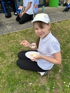
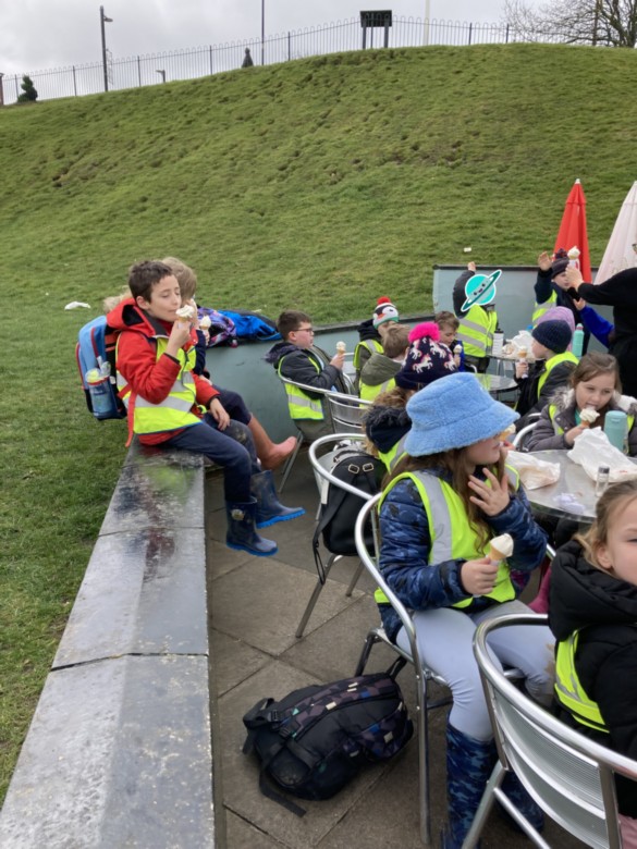
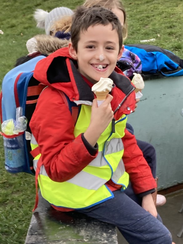
On our return to school, we in need of a rest as our legs were quite tired. We sat in the shade and enjoyed an ice-cream!
In the afternoon we used our litter day to create graphs.
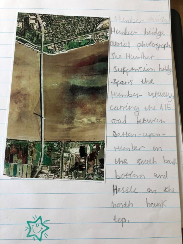
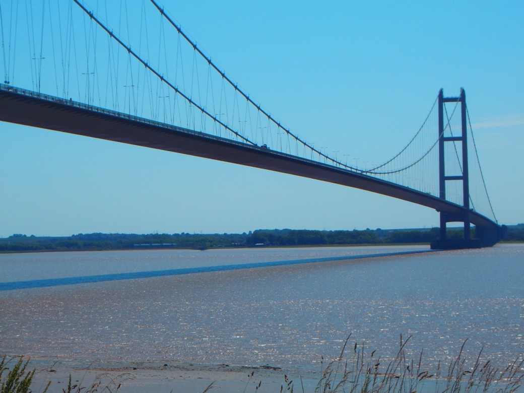
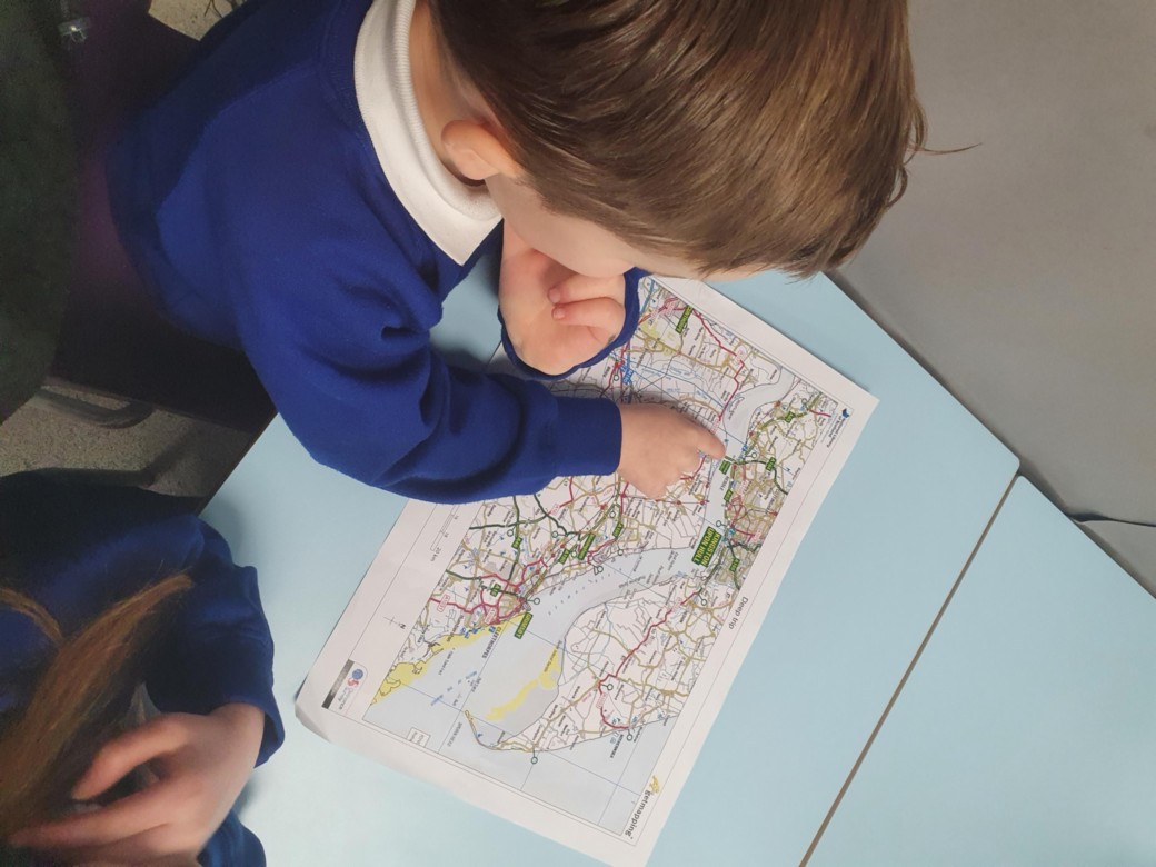
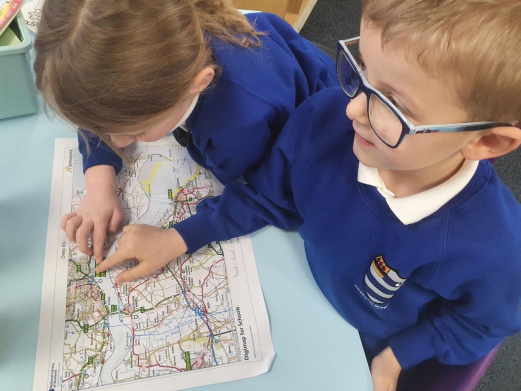
Humber Bridge (Maps & Field work)
As part of their Geography work, the Year 2 children enjoyed a fantastic trip across the Humber Bridge and visited The Humber Bridge Country Park.
The children were able to broaden their fieldwork skills and enjoy studying maps of the area. This enabled them to develop both their map reading skills and locational knowledge of places of interest.
R- We have learnt some new words, like ‘estuary’.
H- I have enjoyed researching facts about the Humber Bridge.
H- Fifty years ago, there wasn’t a bridge across the River Humber, so it would’ve taken people a much longer time to drive to Hull. They would’ve had to drive around the estuary. This would have been expensive too, as they would need to buy more petrol.
A - The Humber Bridge has made life easier for people travelling from Hull to Grimsby. I know that lots of people have to drive to Hull because that’s where they work.
M- Mrs. Brady likes to go on holiday to Scarborough. She drives across the bridge and this makes her journey much quicker.
T- It used to be the largest single span suspension bridge in the world. I am going to find out which bridge it is now!

Rivers
In geography we used an to identify rivers in the United Kingdom.
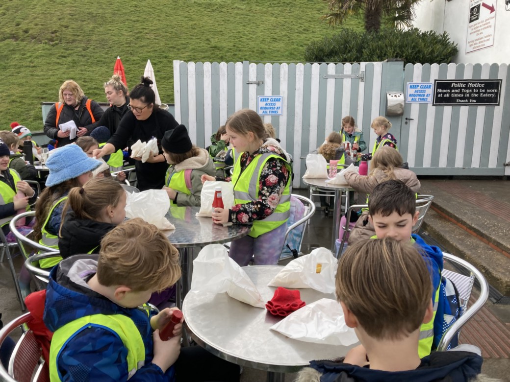
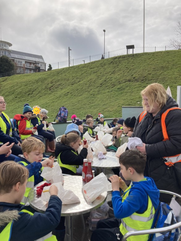
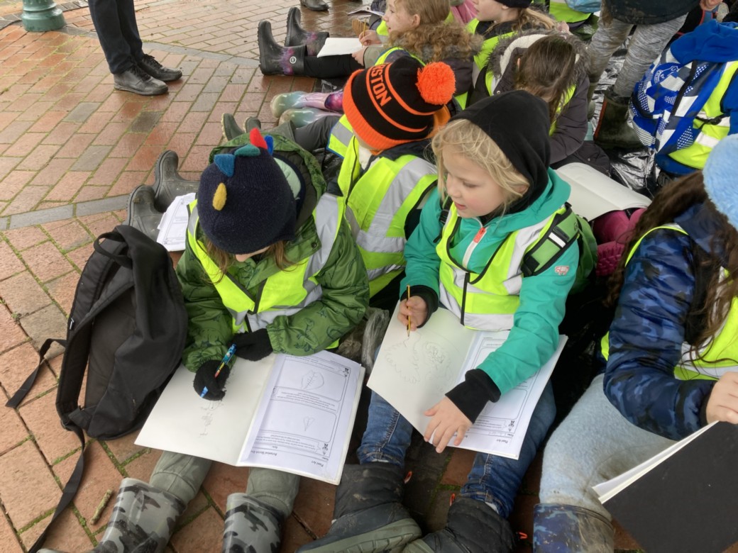
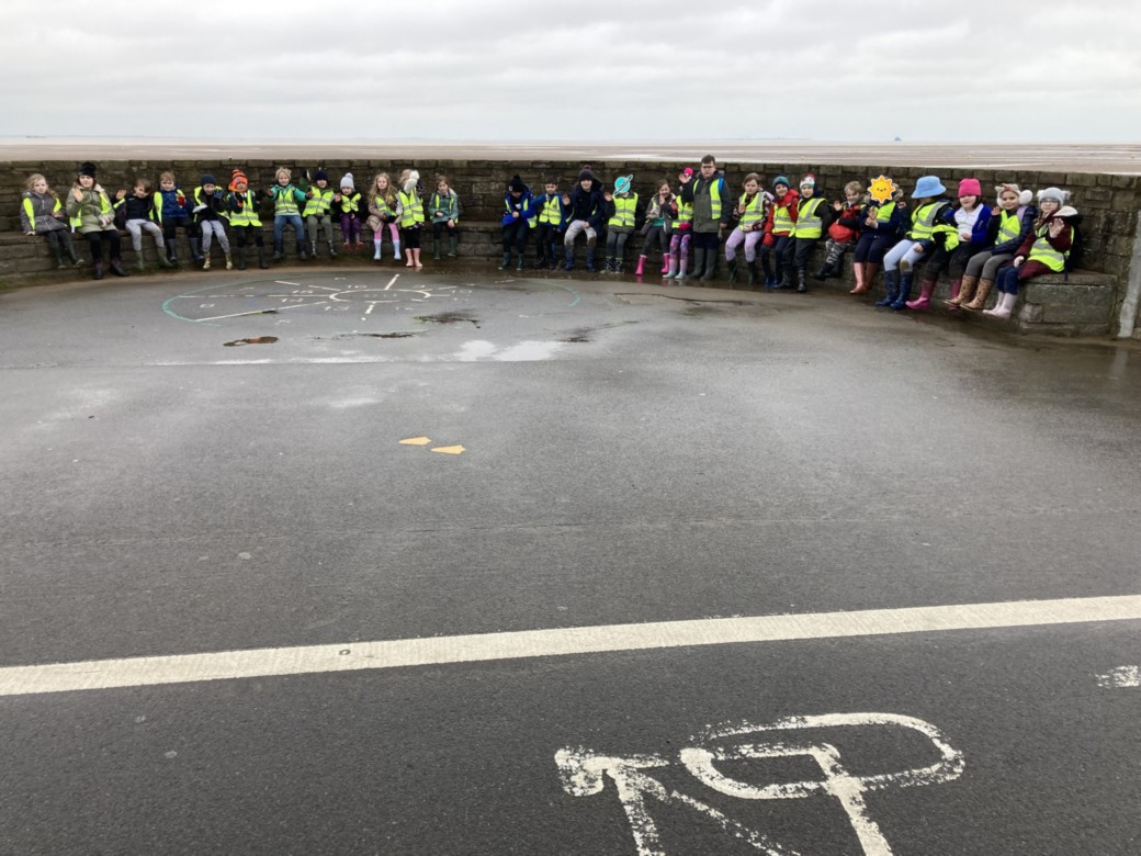
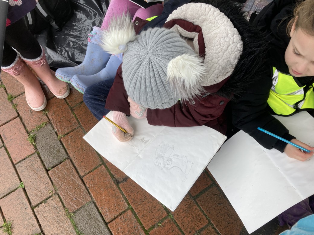
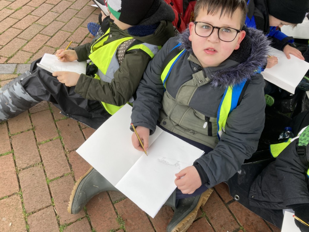
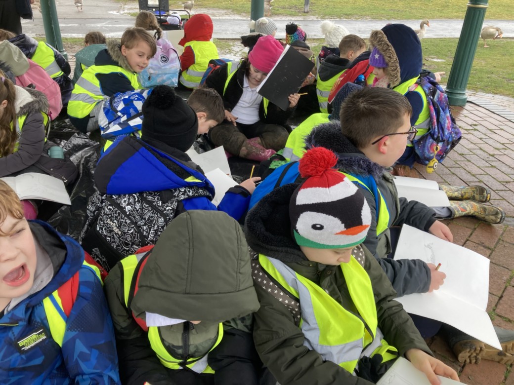
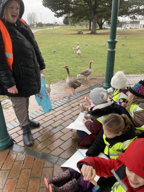
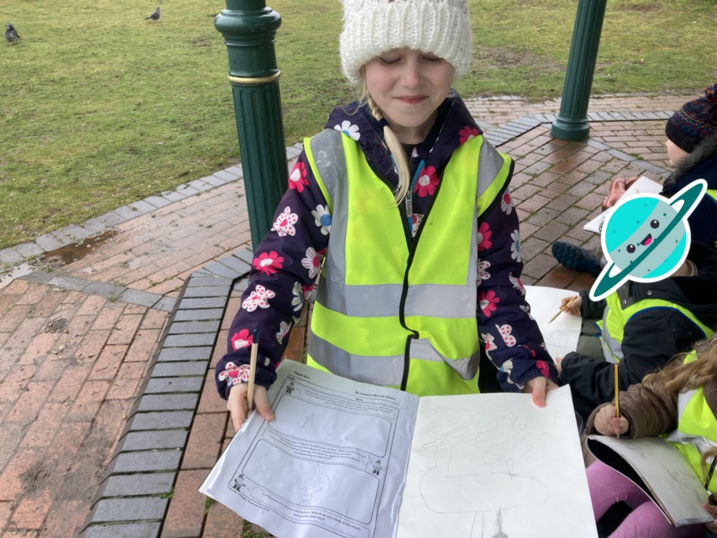
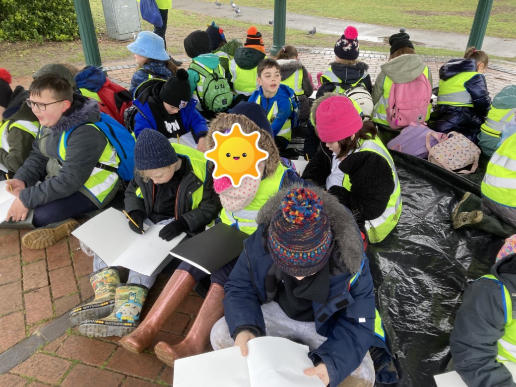
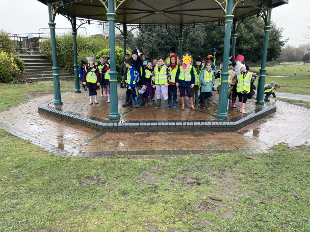
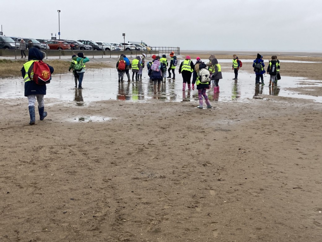
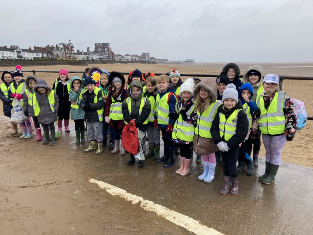
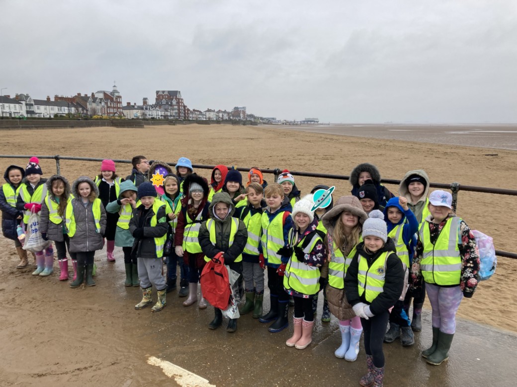
Year 3 - "Oh we do like to be beside the sea side!"
We had a great day on our fieldtrip to 'sunny' Cleethorpes. Nothing was going to stop our fun....rain, drizzle...we didn't care!
We looked at the differences between the human and physical aspects of Cleethorpes. The changing coastlines with the sand dunes and the vegetation which keeps the sand in place compared with the built sea defences. The children loved exploring the marsh land for creatures, shells and pebbles, trying to guess which types of rocks they were. We explored the sand dunes then we went to the bandstand to shelter from the elements and sketch some local wildlife. The sun finally came out for us so we had a brisk walk to get chips & ice cream! Yum! As the children had been so great we had a little free time on the beach then another walk back to the bus! We were all shattered but everyone loved the adventure we had!

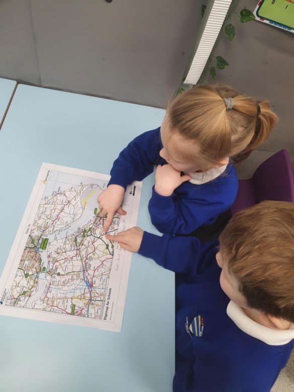
Maps
This morning in year 1 we looked at maps to plot the journey we took to The Deep. We looked for key locations such as; Laceby, the Humber Bridge, and The Deep. We enjoyed recalling things we had seen on our journey!
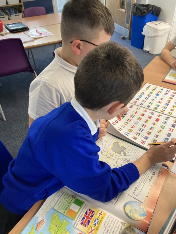
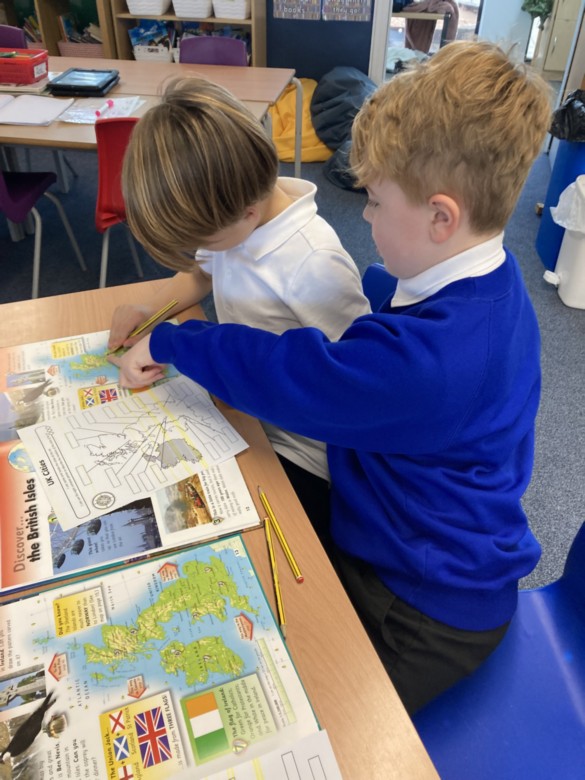
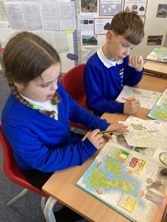
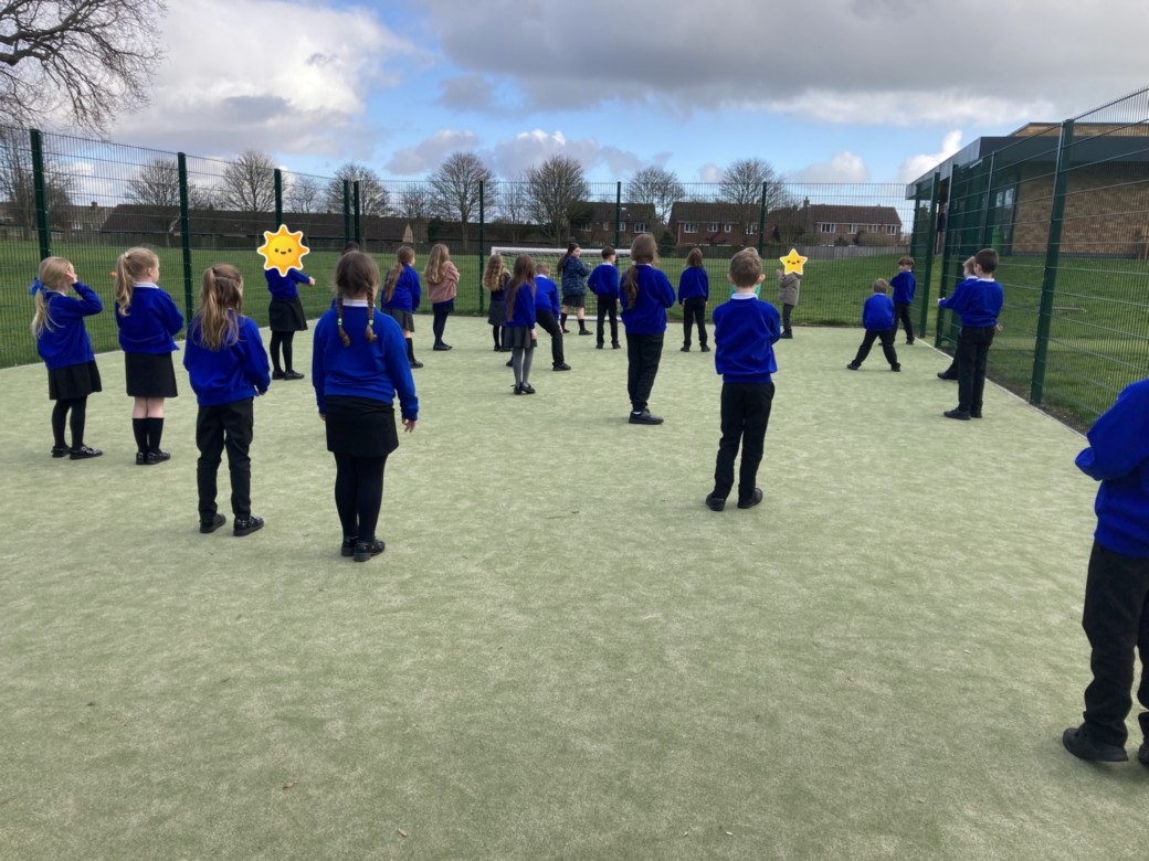
Year 3 - Geography
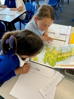
In geography we have been learning about the UK. Today we used our map reading skills to find different cities around the UK. After that, we took our learning outside and learnt about the 8 compass points. We then used these skills to complete a treasure hunt to find cities around the UK using compass points.
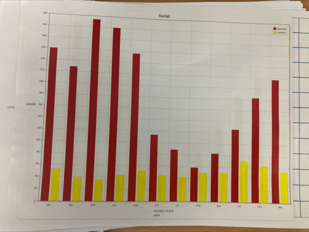
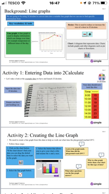
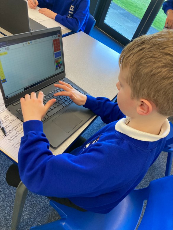
Creating bar charts of weather data linked to Rainforest learning in geography
In our computer lessons we have been learning all about spread sheets, and how to make a bar chart using the information we input into 2 Calculate.
We thought it would be interesting to create a bar chart using the data we have found out in our geography lessons exploring the climate in Manaus and London.
We are going to use the bar chart to compare and analyse the information.

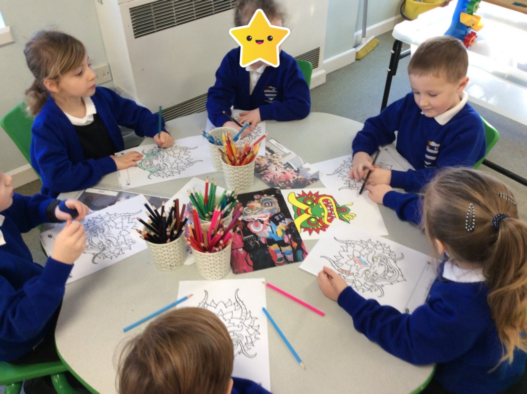
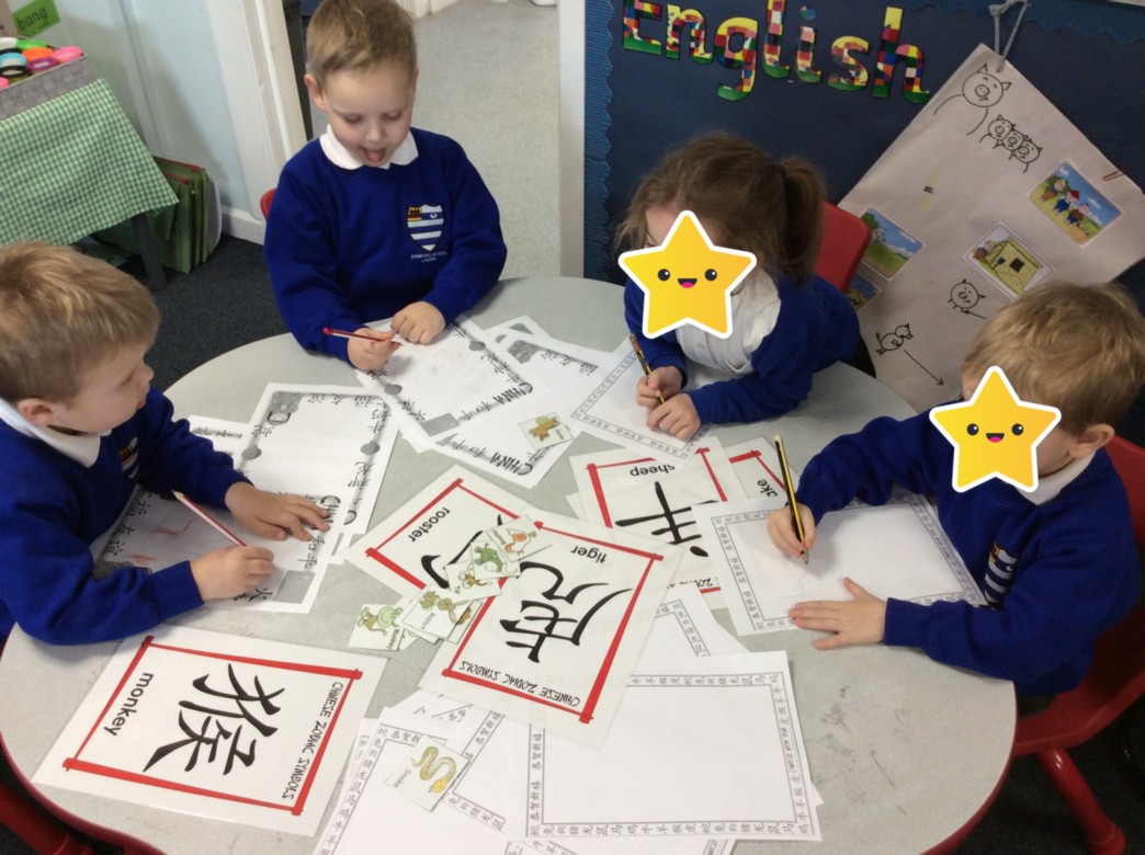
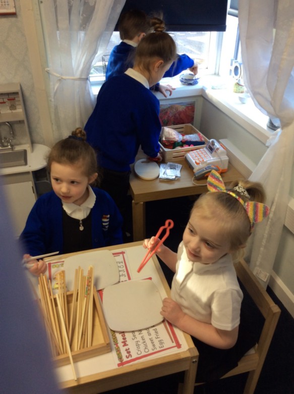
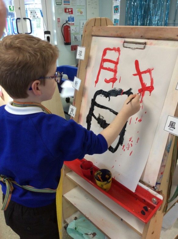
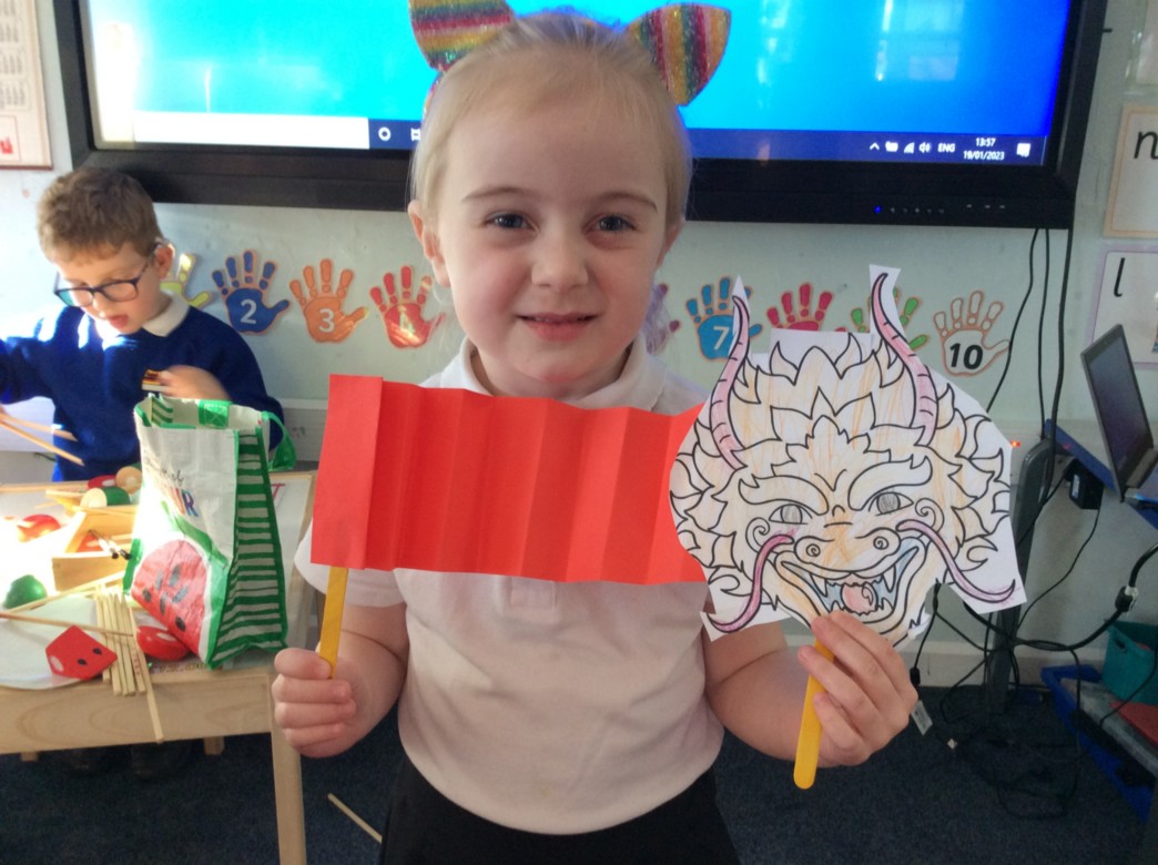
Chinese New Year
We have started our learning about Chinese New Year in foundation stage. We have read the story of 'The Great Race' and learned that there are 12 animals which different years are named after. This year is the year of the rabbit, but most of us will have been born in the year of the dog or the rooster. We have enjoyed exploring Chinese food in our takeaway role play area, as well as trying on some traditional Chinese clothing. We have also tried writing and painting some Chinese words and numbers. We have made some Chinese dragons using a concertina effect with card - next week we will be making a big dragon and taking part in a dragon dance. Happy Lunar New Year to all those who celebrate it!